It was a beautiful Saturday in April. I needed some place I could ride where I wouldn't hit traffic and that I hadn't see a hundred times. Since I lived somewhat close to Chattanooga I thought I'd just pop down and look for something interesting. Between distractions I didn't hit the road for this until 1 pm. I'm so much in the habit of carrying everything I think I might possibly need that I rarely take off my panniers for a ride of any length. I gritted my teeth and dropped 'em in my garage this time. I did snag a pair of rain pants in case temps dropped and my vented pants were too cool. I also knew I'd want the liner for my vented jacket. The tankbag is always full.
For those who like to follow along at home this is my Garmin GPX file for the day's ride.
For folks who have Google Earth installed this is my Google Earth KMZ file for the trip and shows where I was when I took the various pictures.
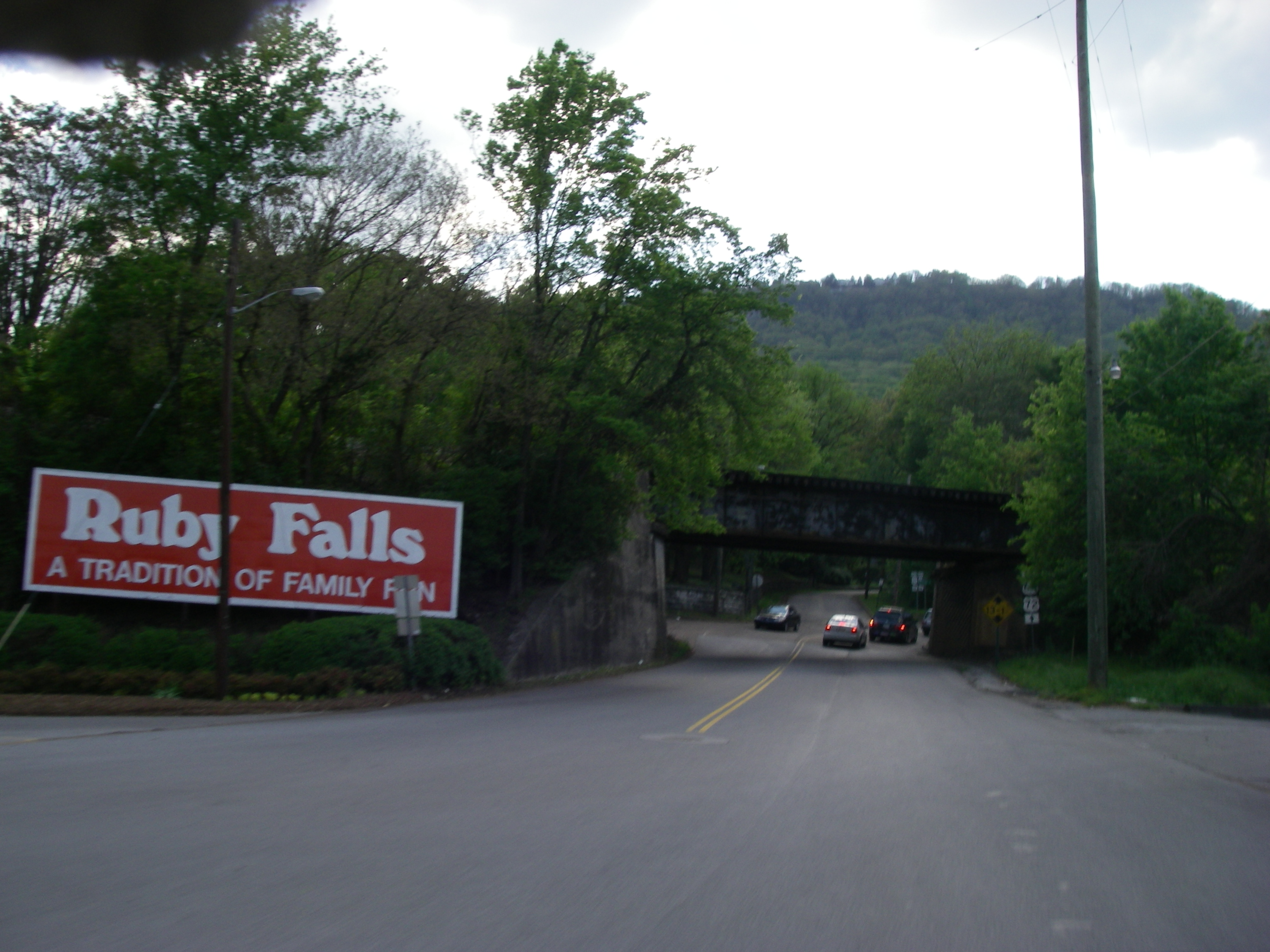
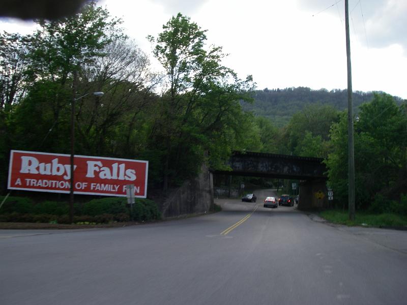
At a stop nearing Chattanooga I realized I was close to Georgia. I called a friend down there in Atlanta to see if he wanted to meet up. He was laid up with a hurt back. Right across the street from me was a sign for Ruby Falls so that became my new destination. I just plugged that into my Zumo 550 with interstates blocked and headed on. Before that I had searched for any interesting looking historical sites listed in the Zumo.
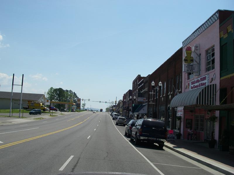
I was starting to realize I hadn't taken any pictures along this trip. This is one shot in old downtown Chattanooga. I didn't realize until just minutes ago writing this report that I was close to the Chattanooga Choo-Choo at this point.
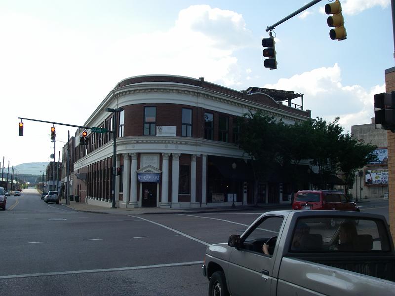
Same story. I like the architecture.
Ah. I didn't really know where I was going when I set out. This was just a trip down to see something about Chattanooga. Then I started seeing all these signs for Ruby Falls. I honestly didn't know anything about it and thought it was going to be a normal waterfall.
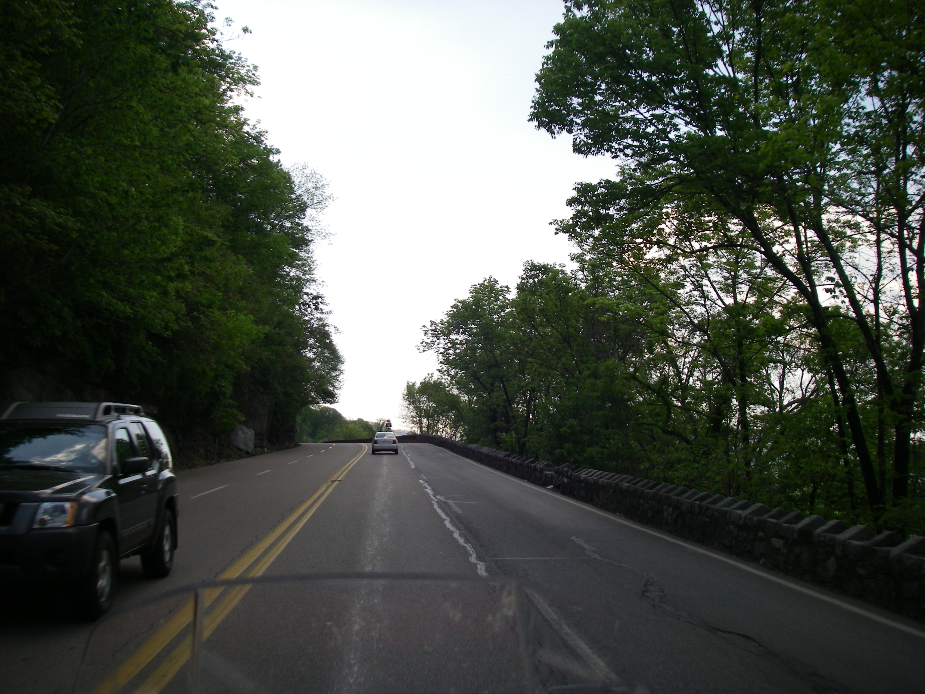
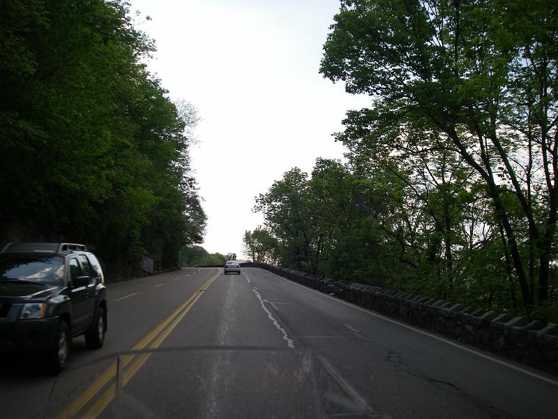
Climbing up to the top of Lookout Mountain.
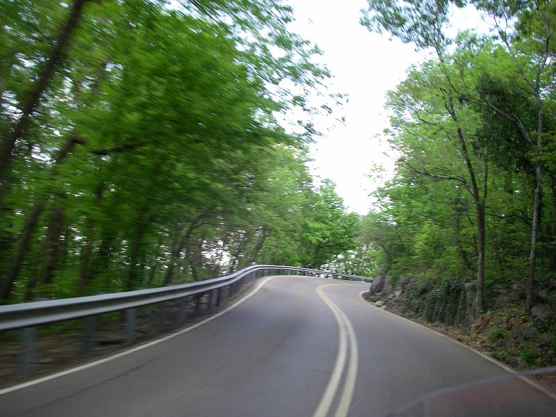
Nice.
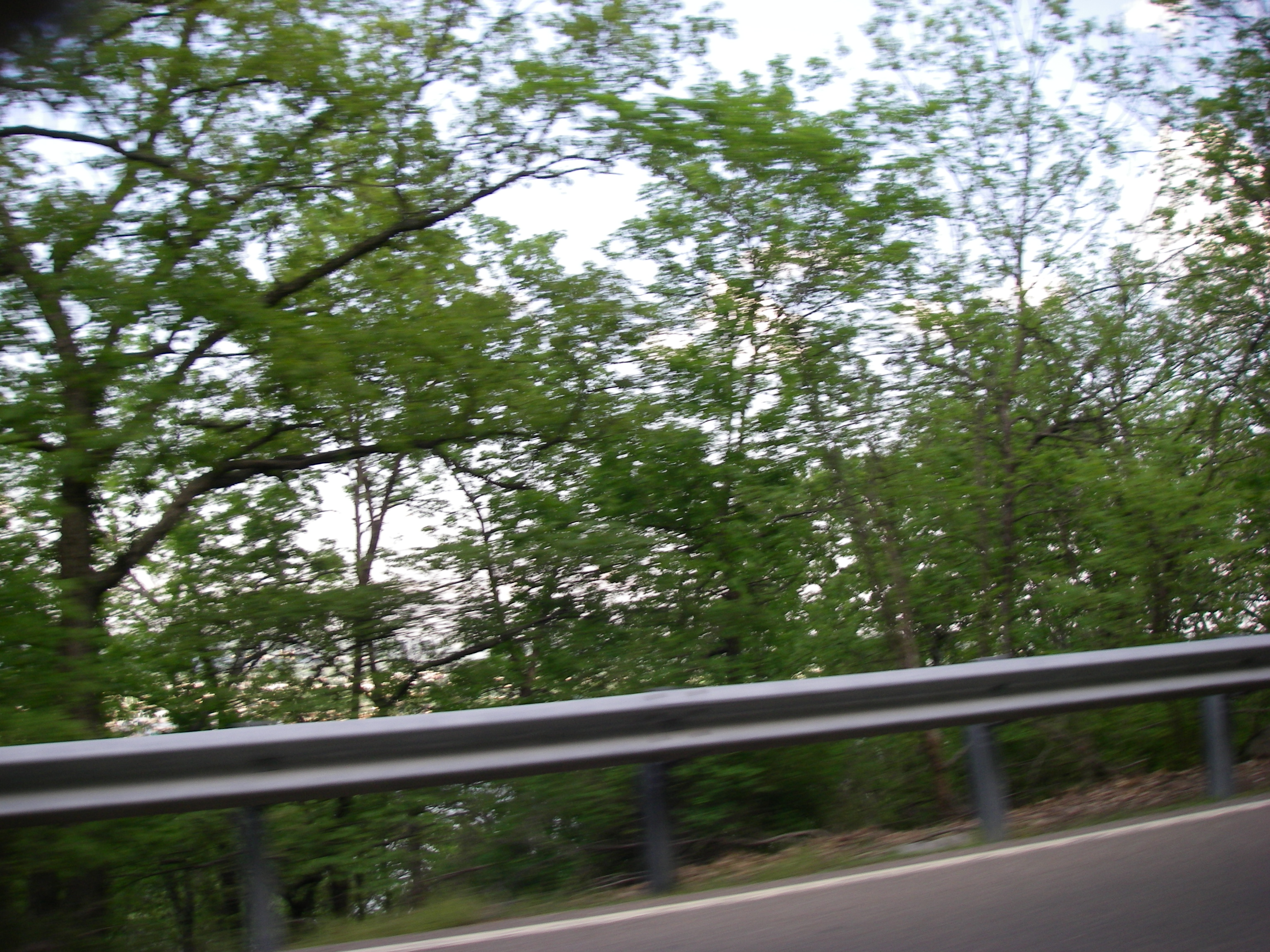
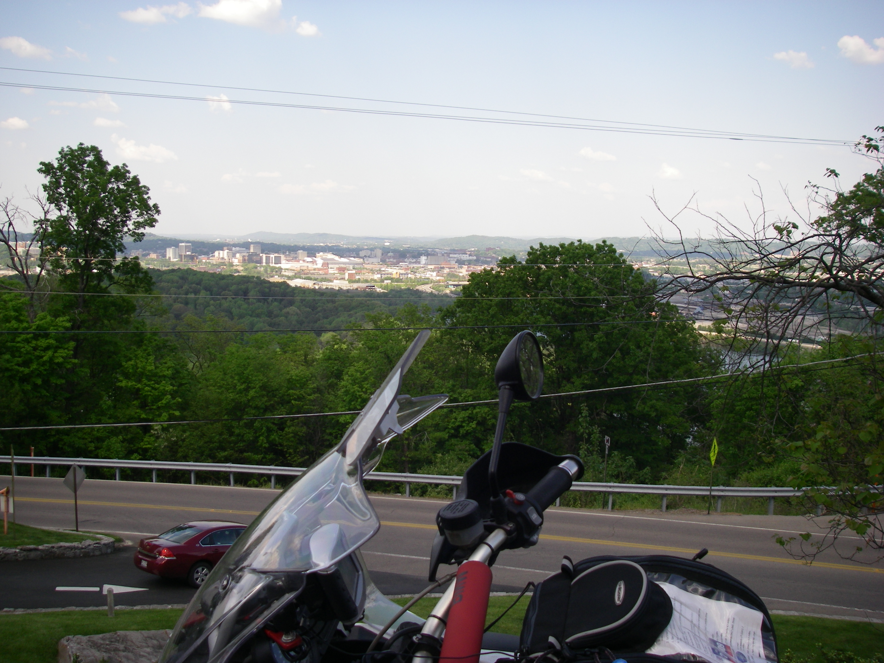
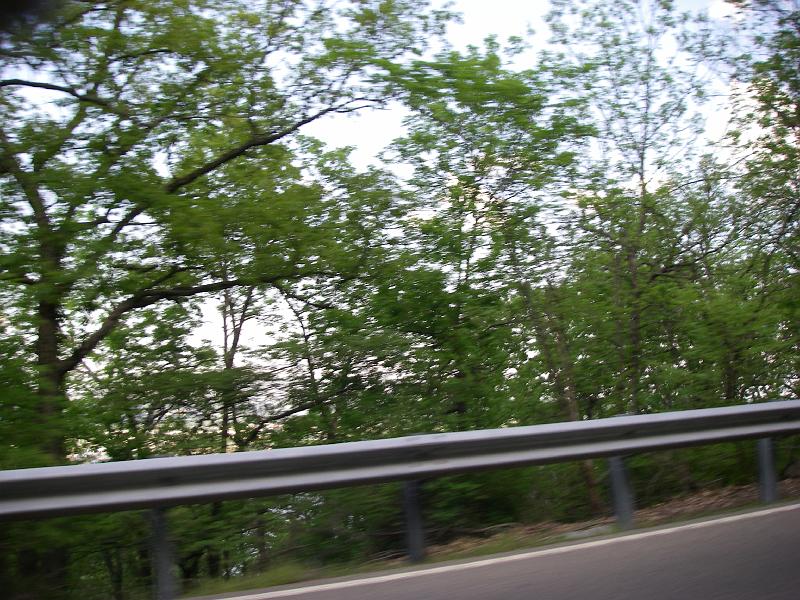
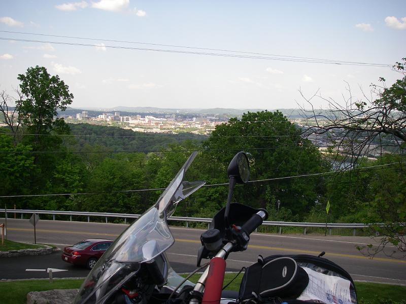
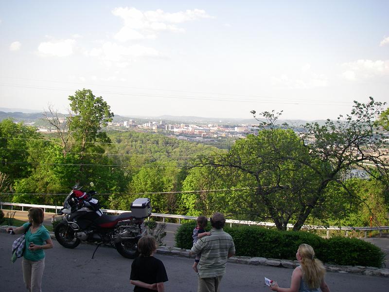
I didn't want to stop on this narrow road and kept shooting off to the side to show the town below. Way below. None of those turned out.
Parked outside the entrance to the Ruby Falls castle. I learned on the tour that the castle was built with stone removed to make the cave below more accessible.
Gotta disable my flash and use their lighting.

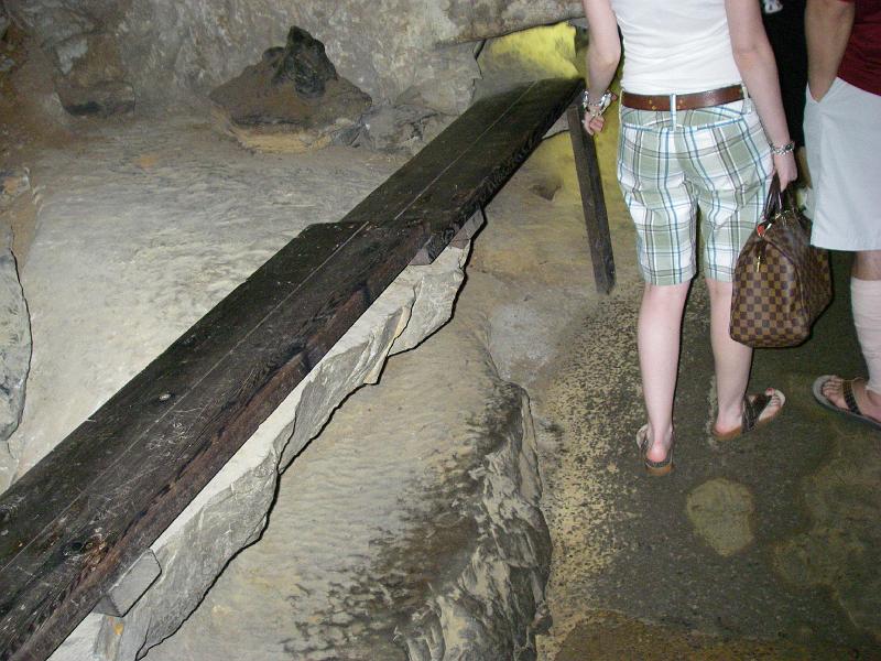
I was trying to get a picture over to my left and finally gave up on my camera doing anything. I guess it wanted a picture of this young lady's backside. She was nice but very hoarse. I forgot to ask where she and her S.O. were from. Part of our group was a large family group from Mexico. Why come here??
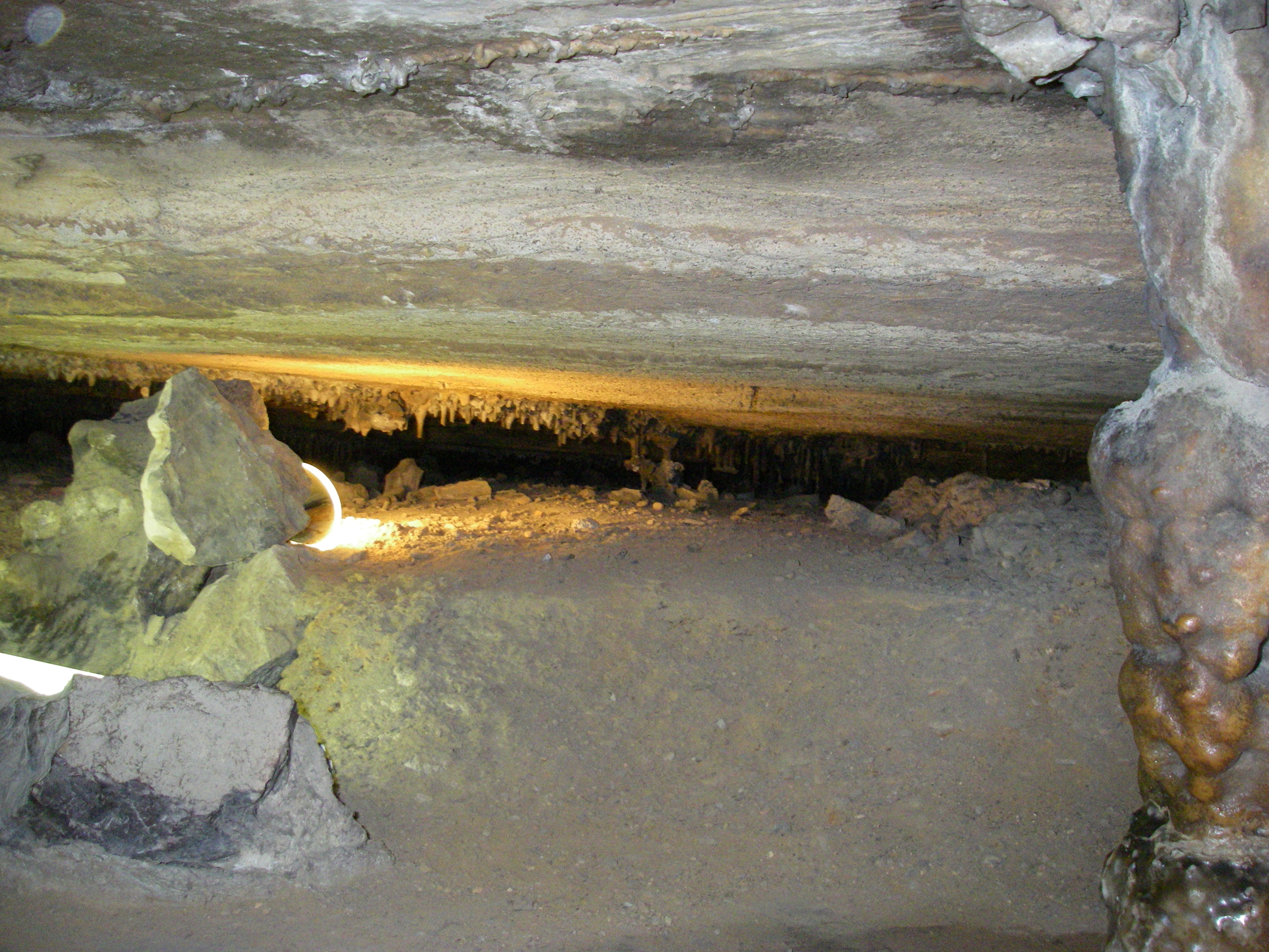
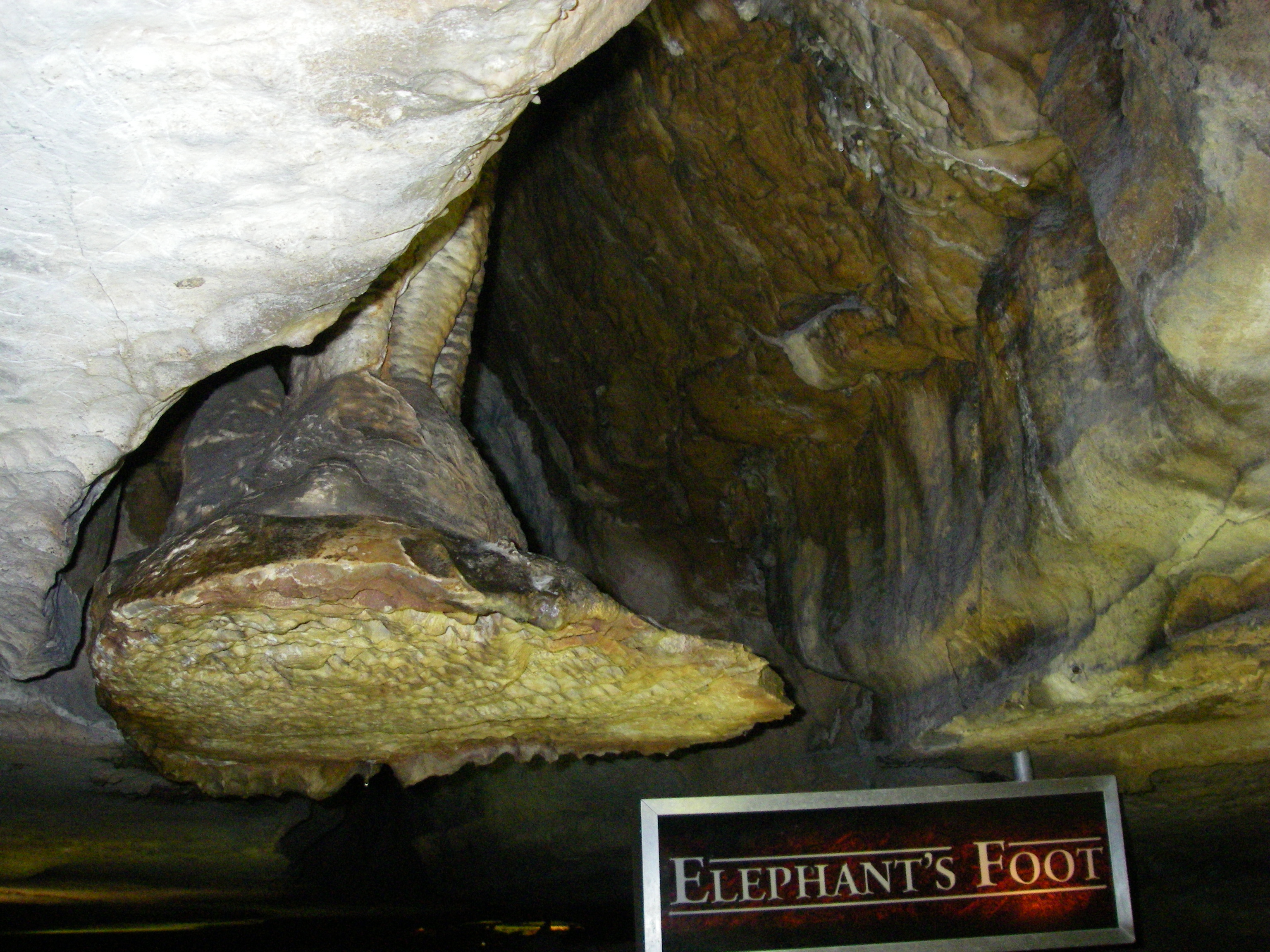
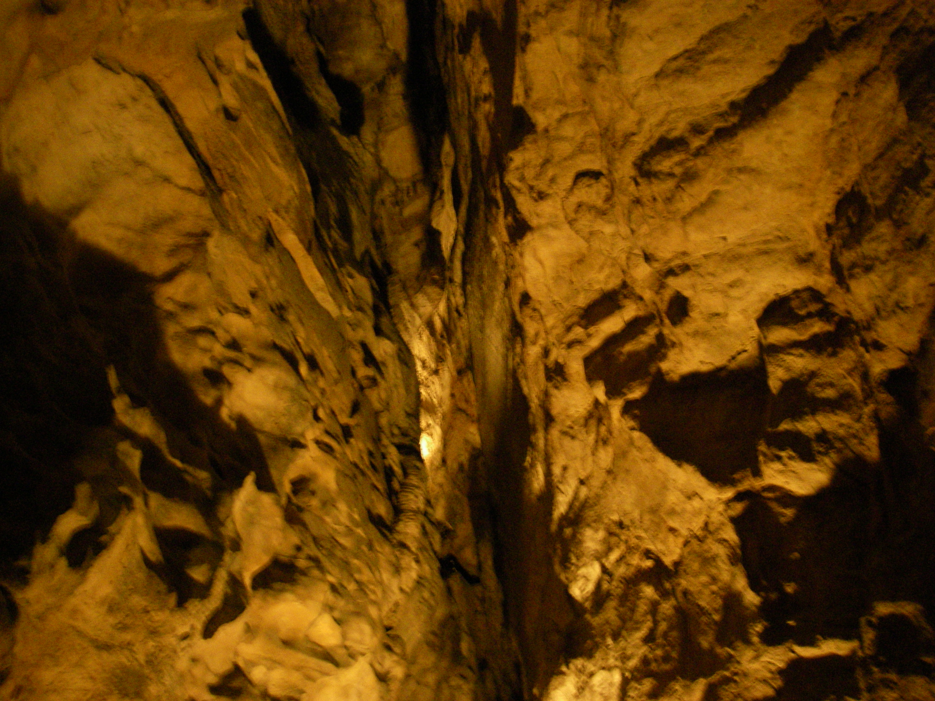
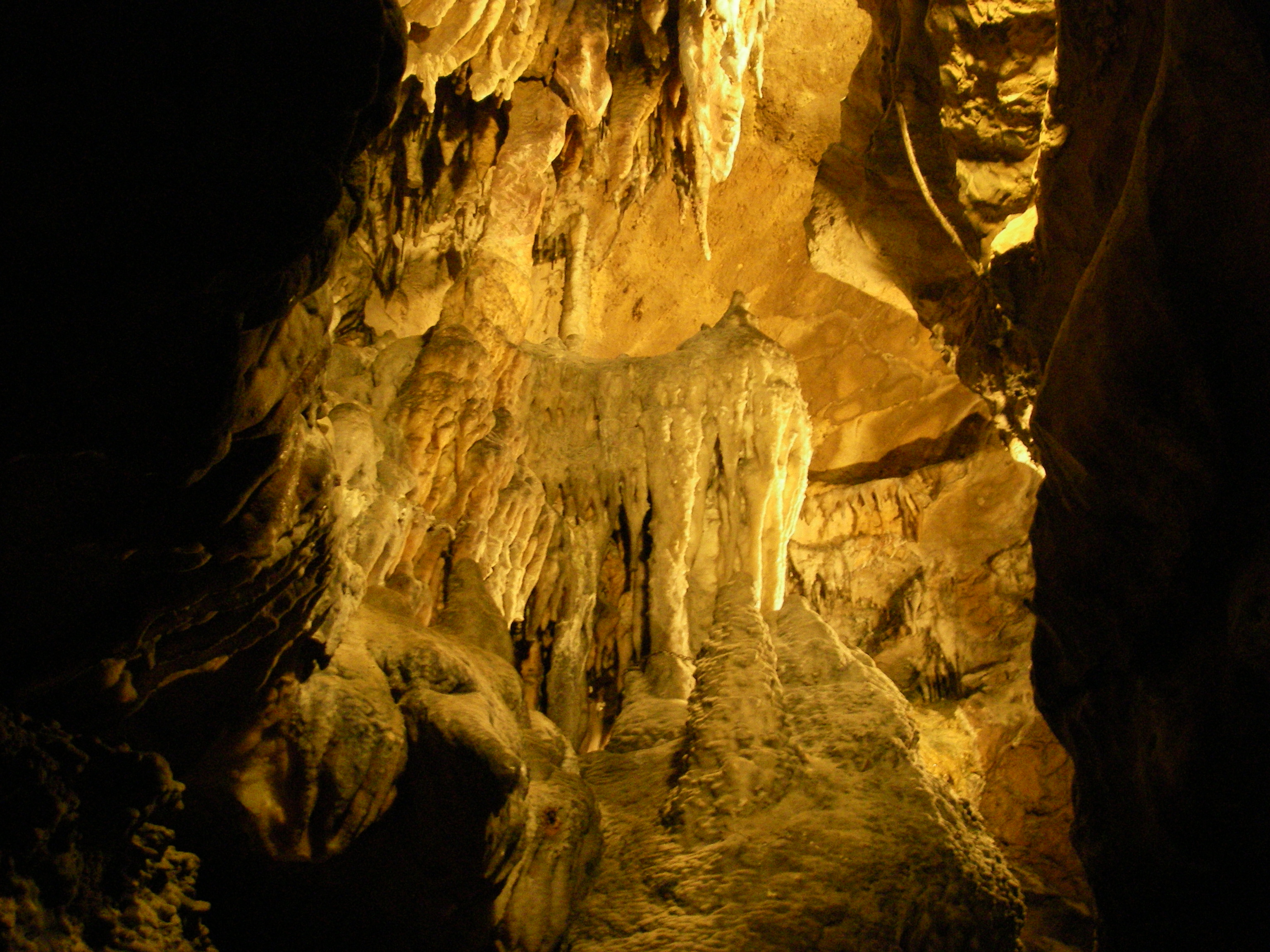
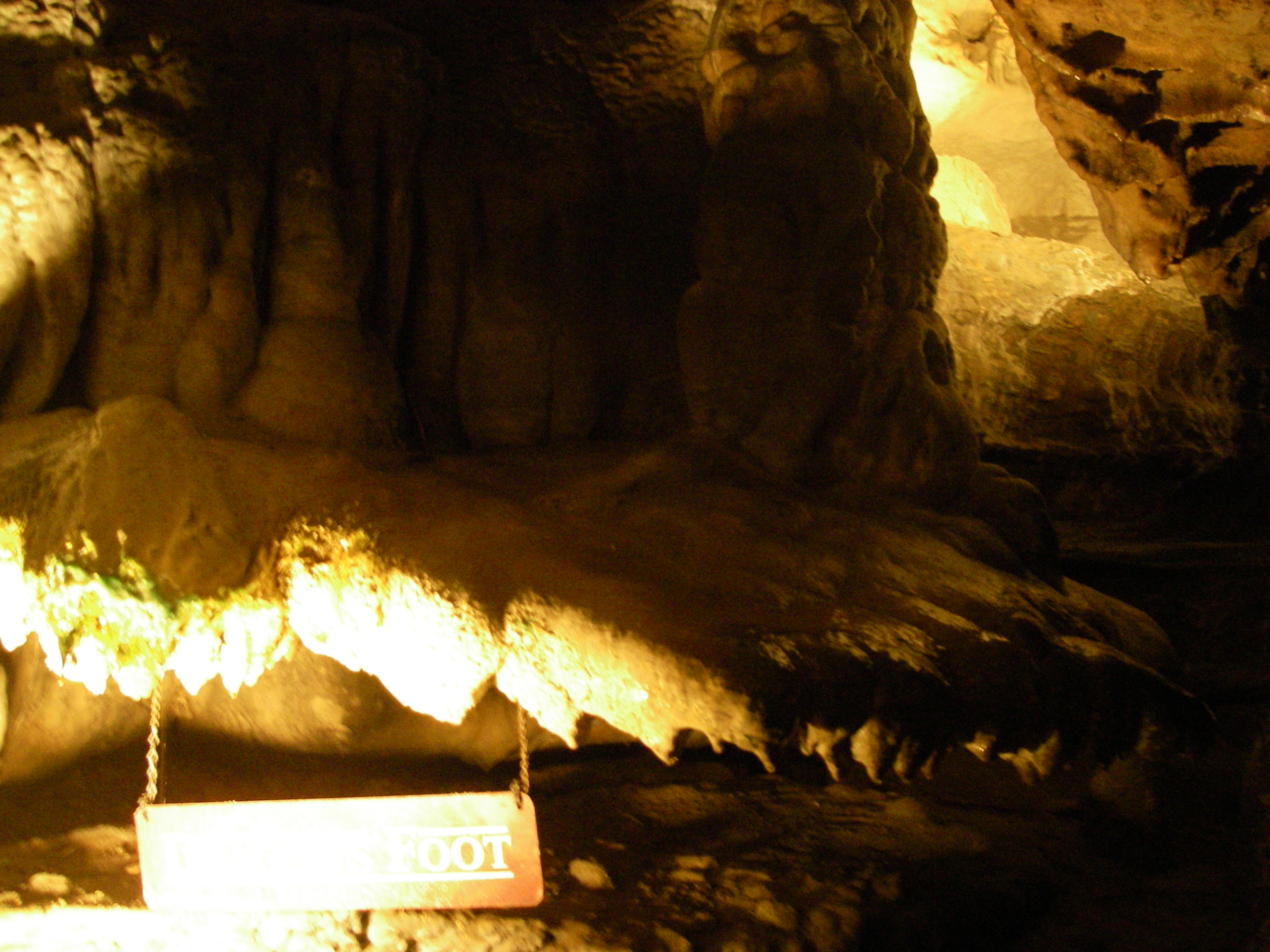
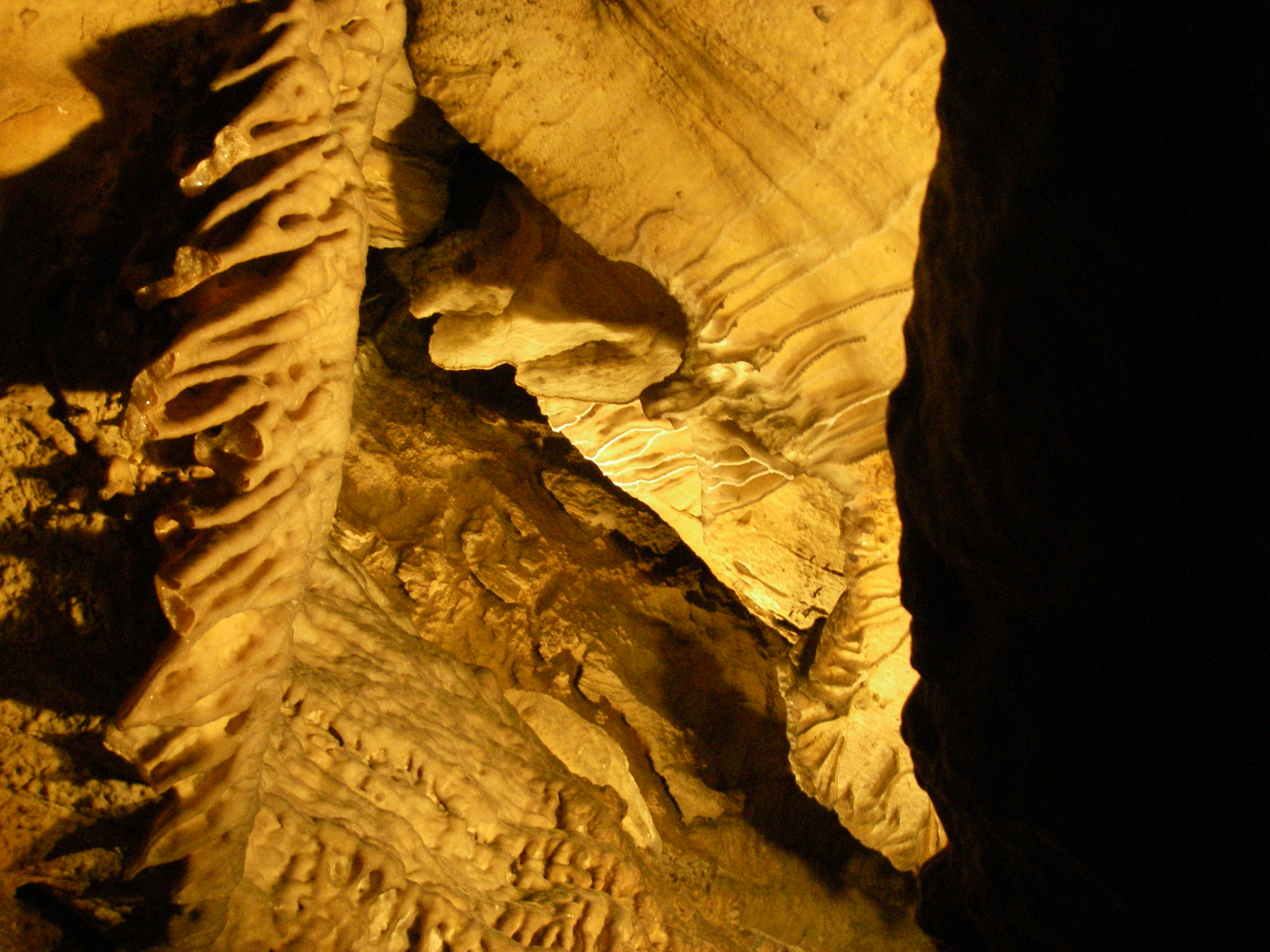
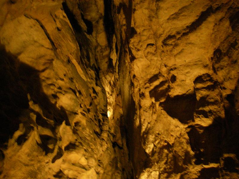
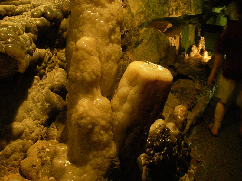
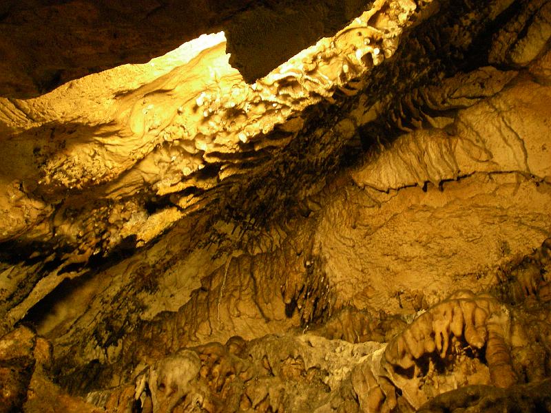
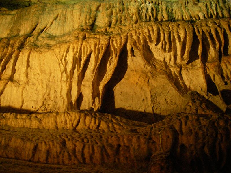
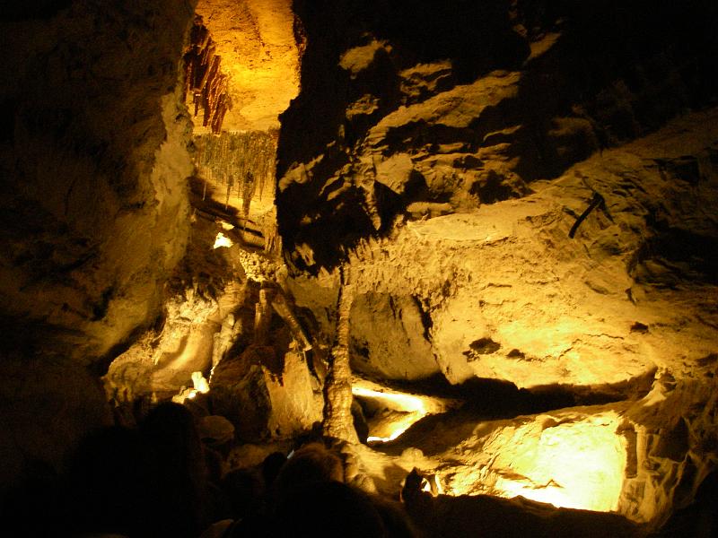
This cavern was full of shapes and things I had never seen before. Very cool. Unfortunately during the cave's long history they had allowed unguided tours and many formations had been broken off and "souvenired."

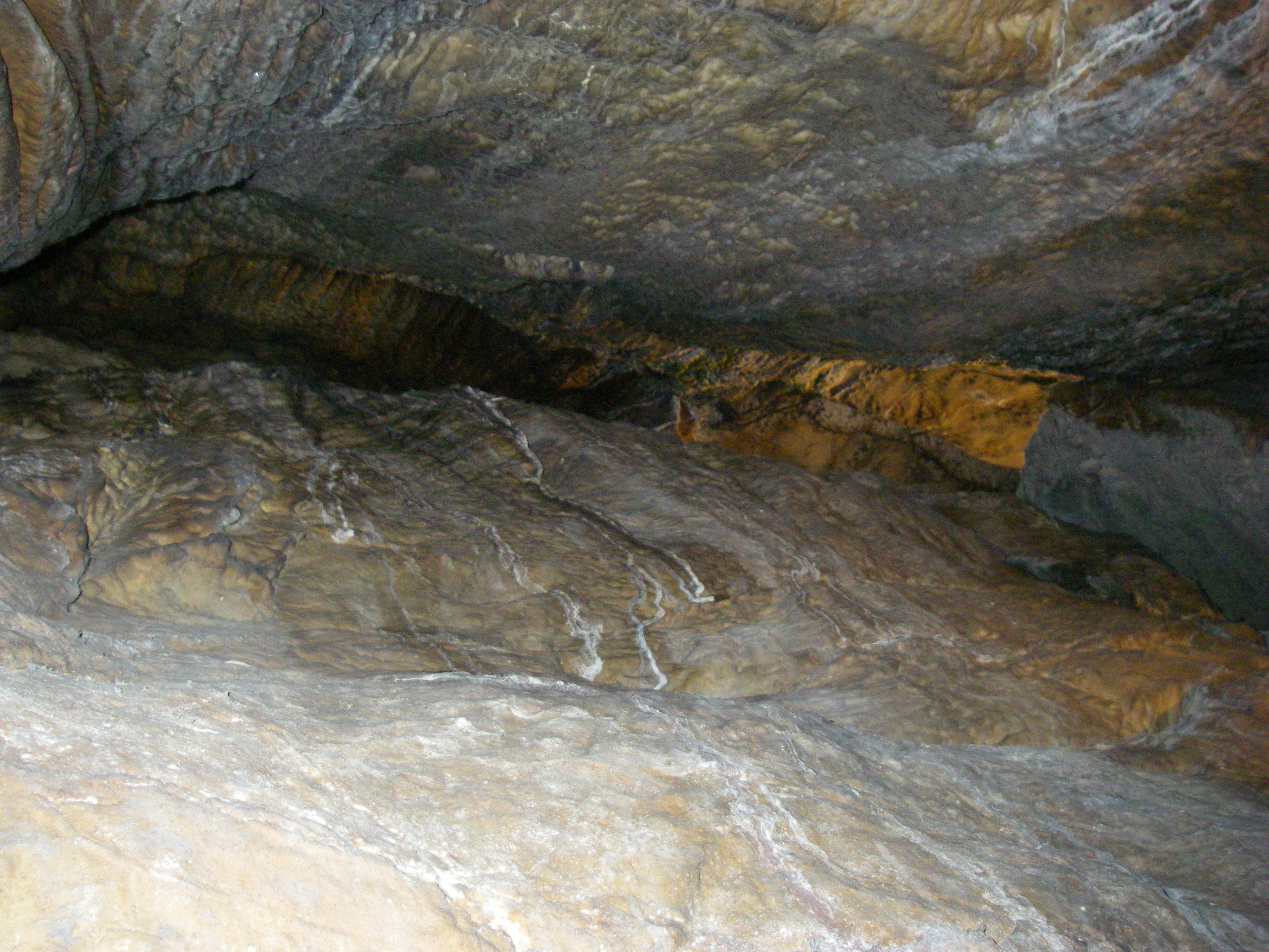
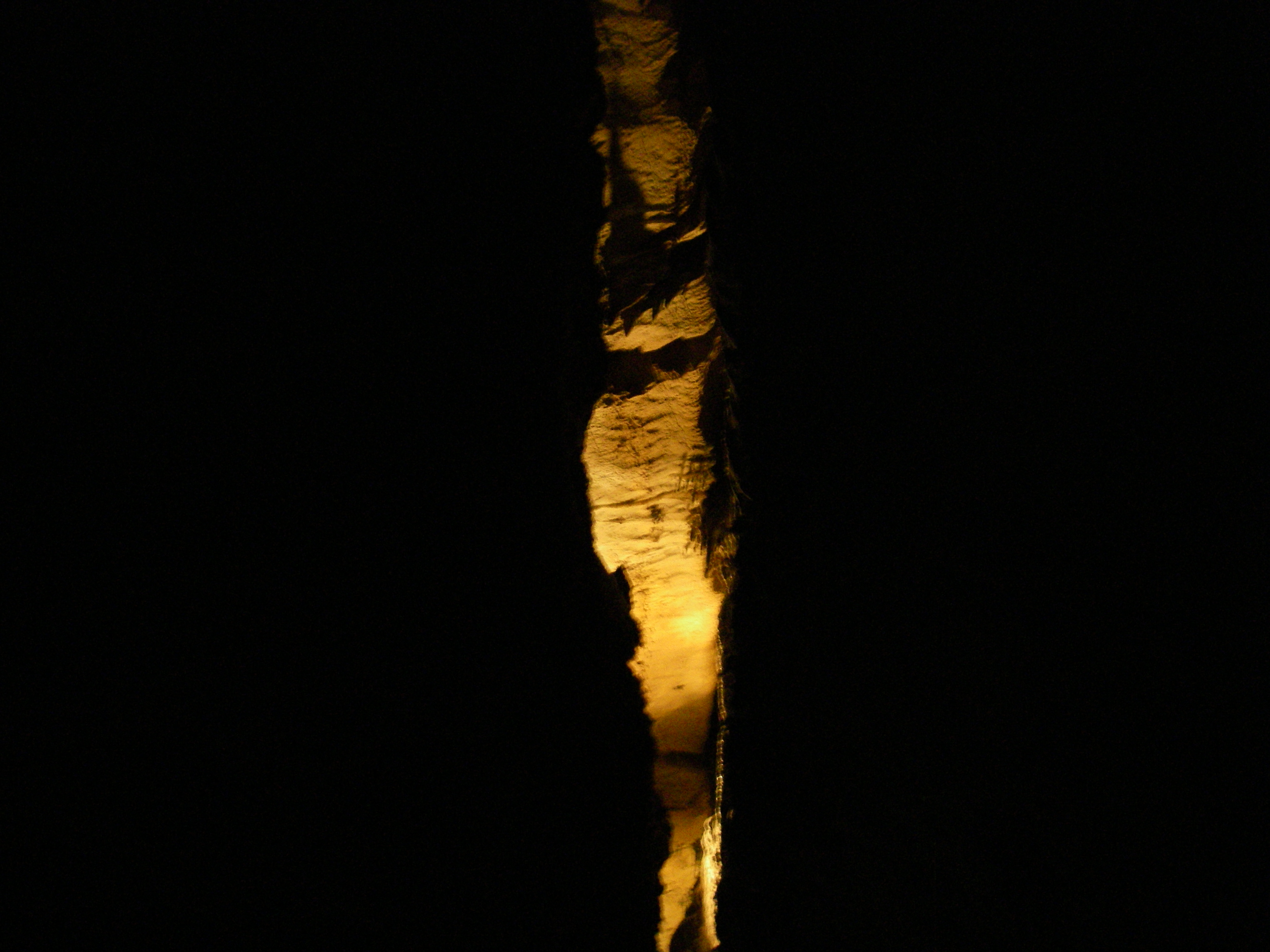
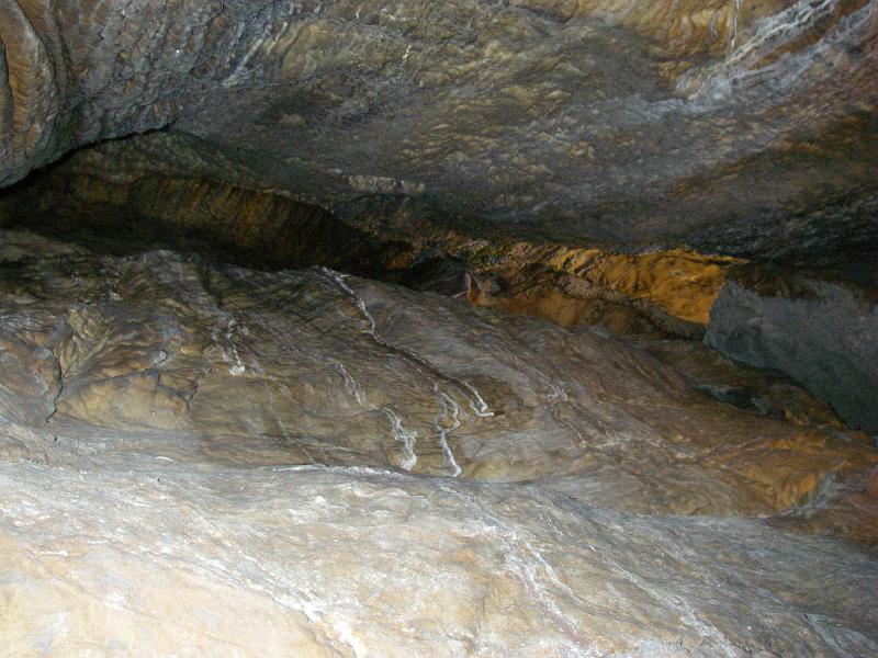
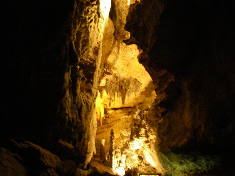
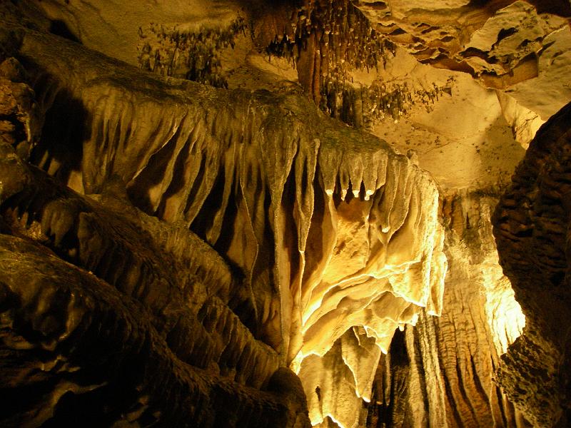
This was looking up at the vaulted ceiling. It looked almost man-made up there at times and otherworldly at others.
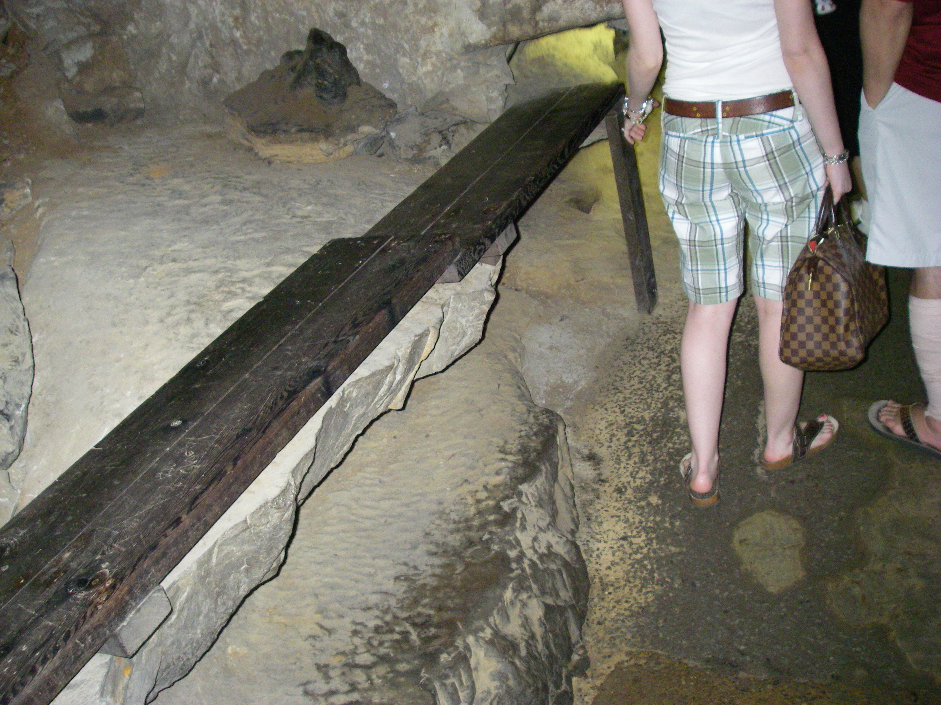
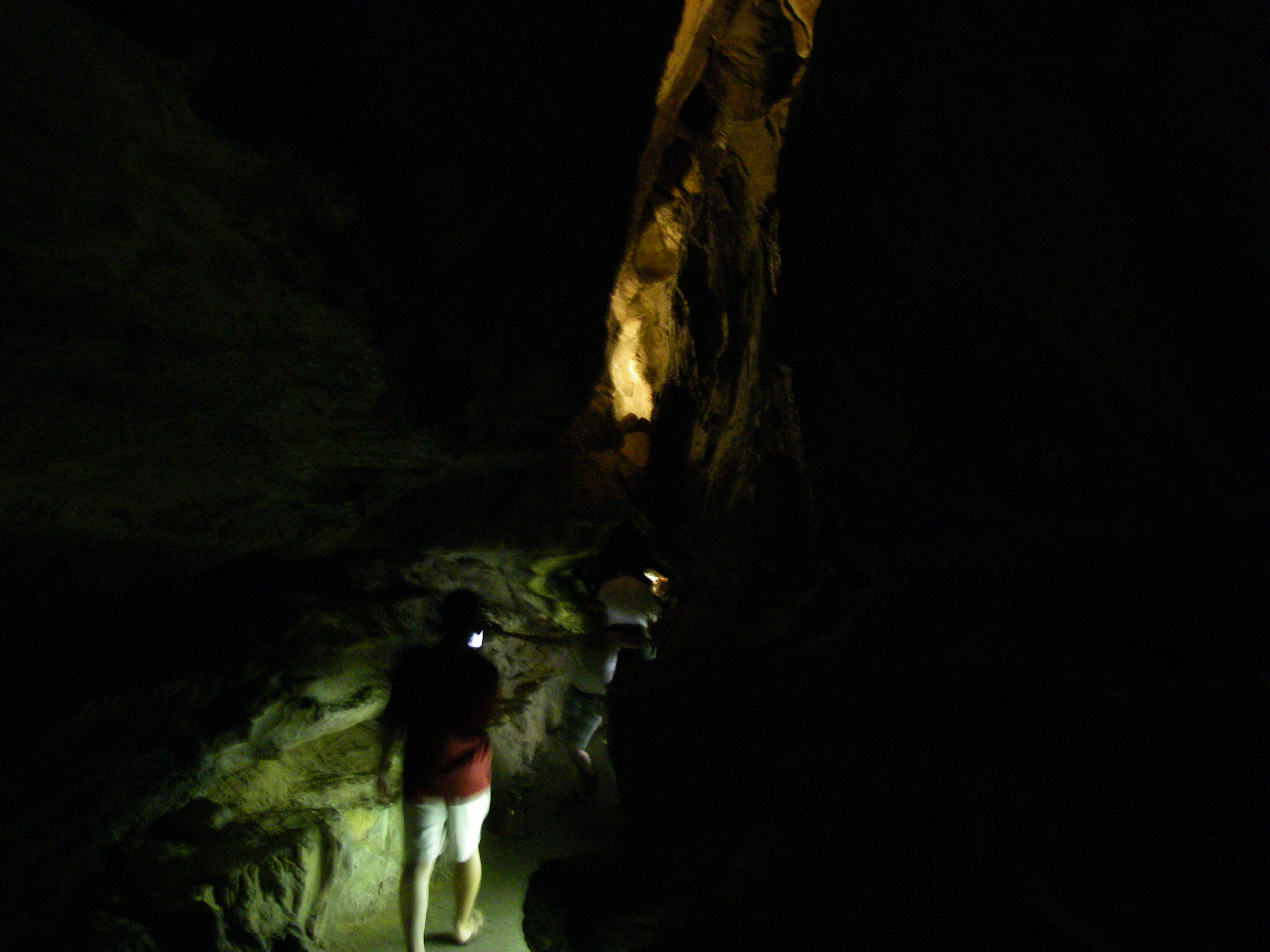
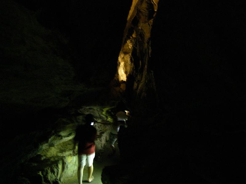
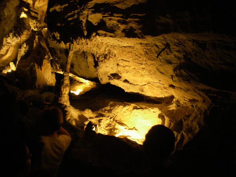
The path wasn't always wide open.
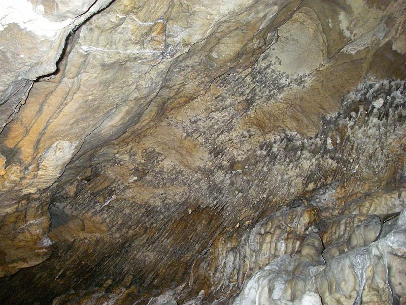
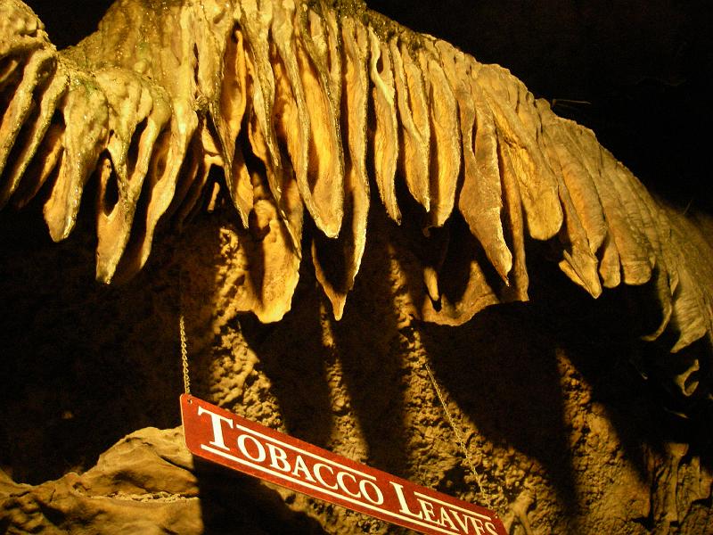
I wish they could take time to wash down more of their formations. Clearly the passage of millions of tourists has left some covered with dirt and lint.
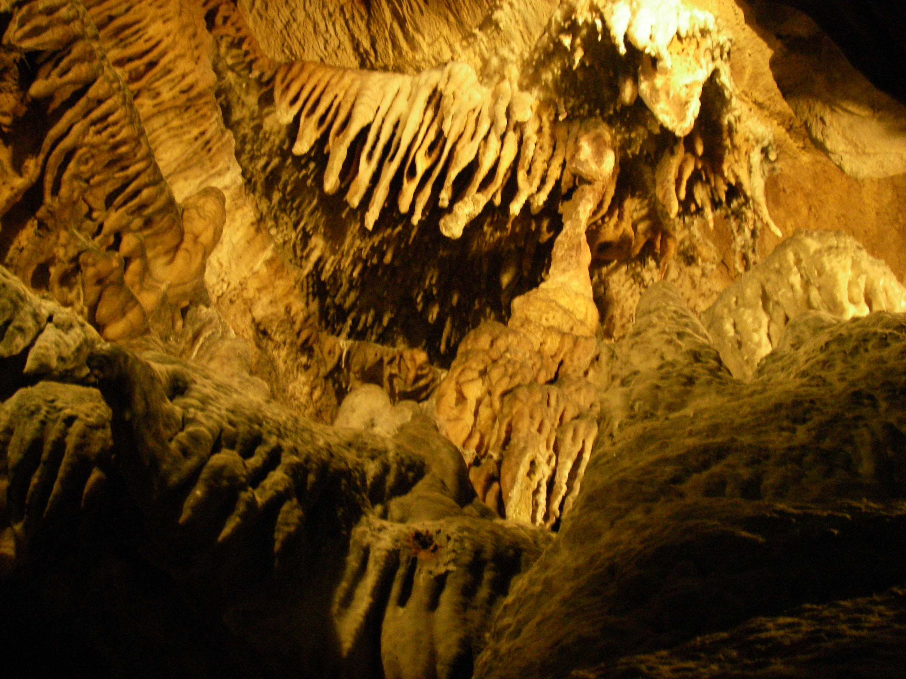
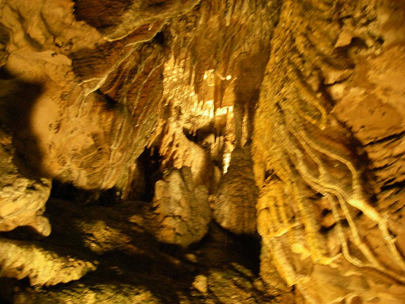
The chandelier.
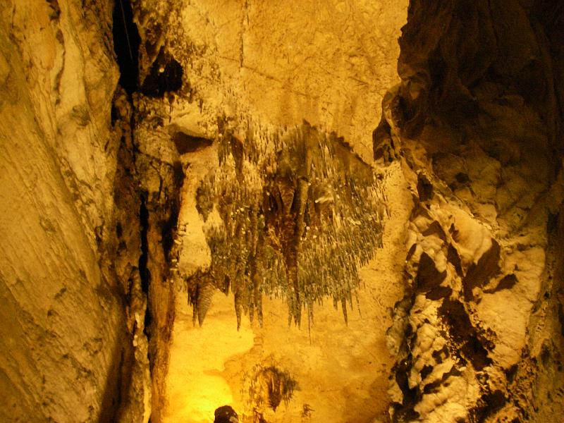
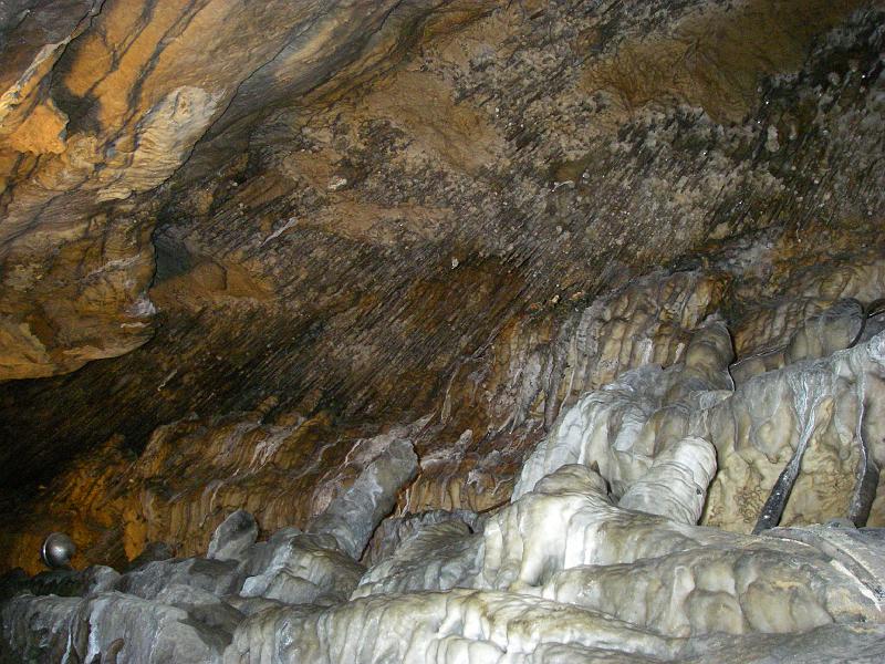
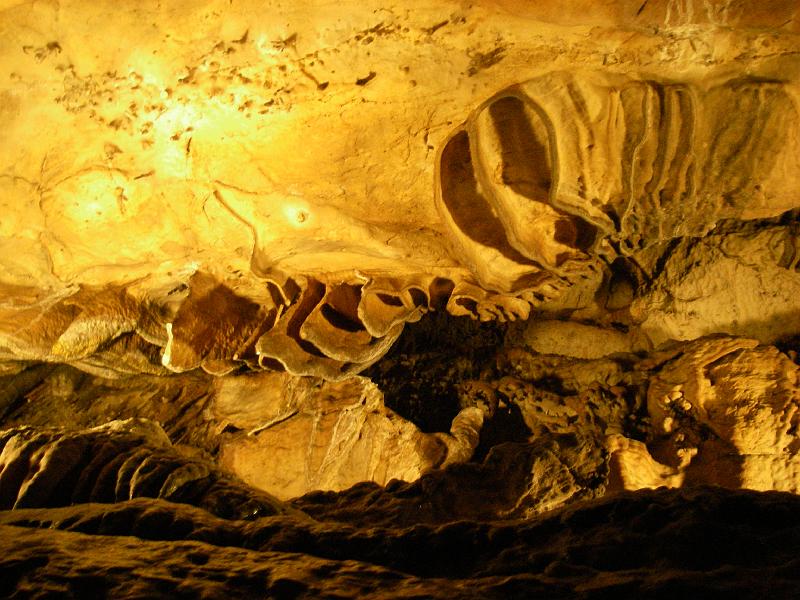
This is the first cave I've seen these sheetlike formations.


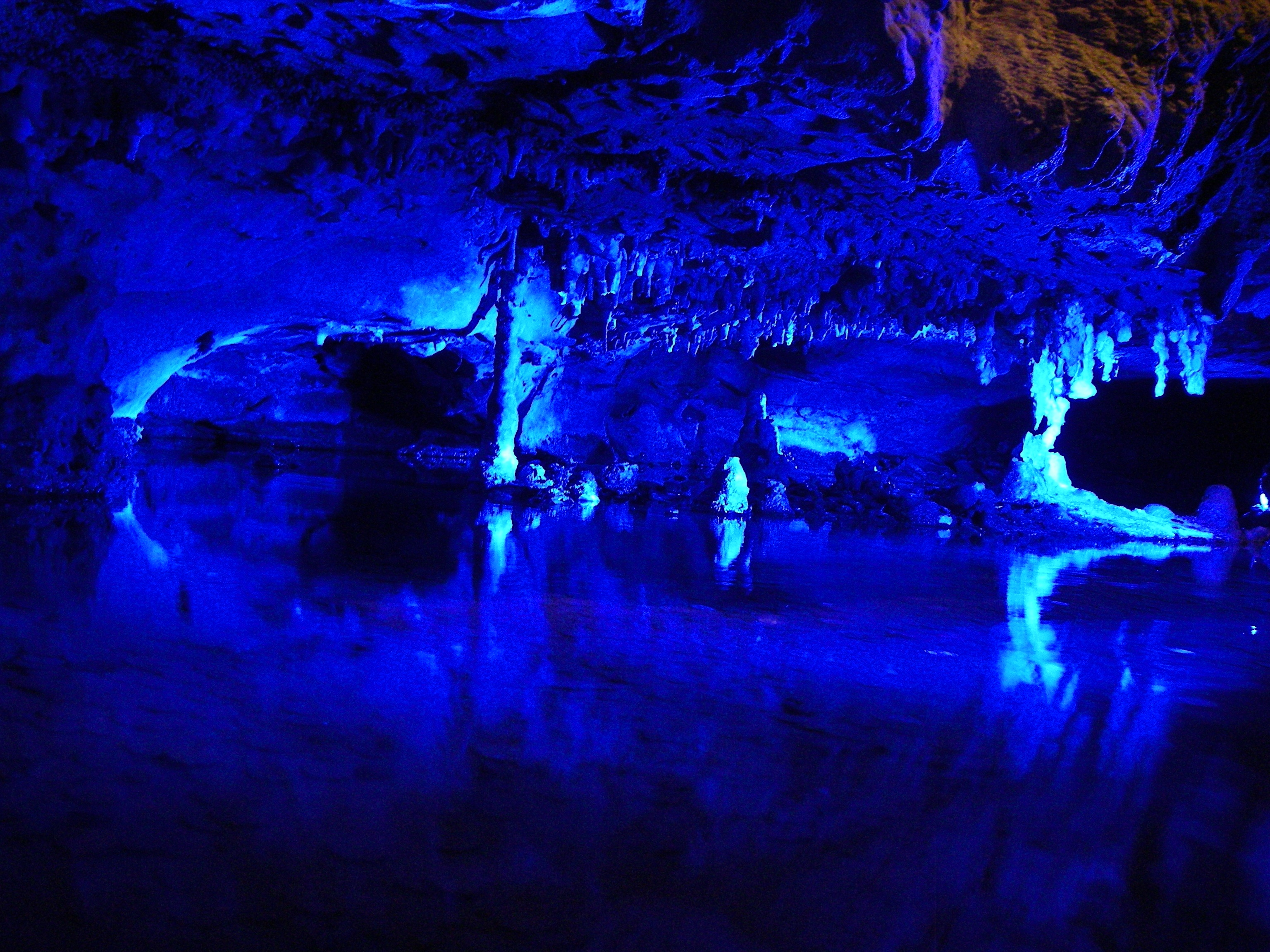
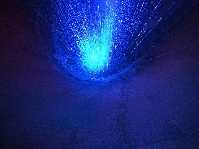
This looks huge but it's just a little pool in a niche with blue lighting.


Should have used my flash.


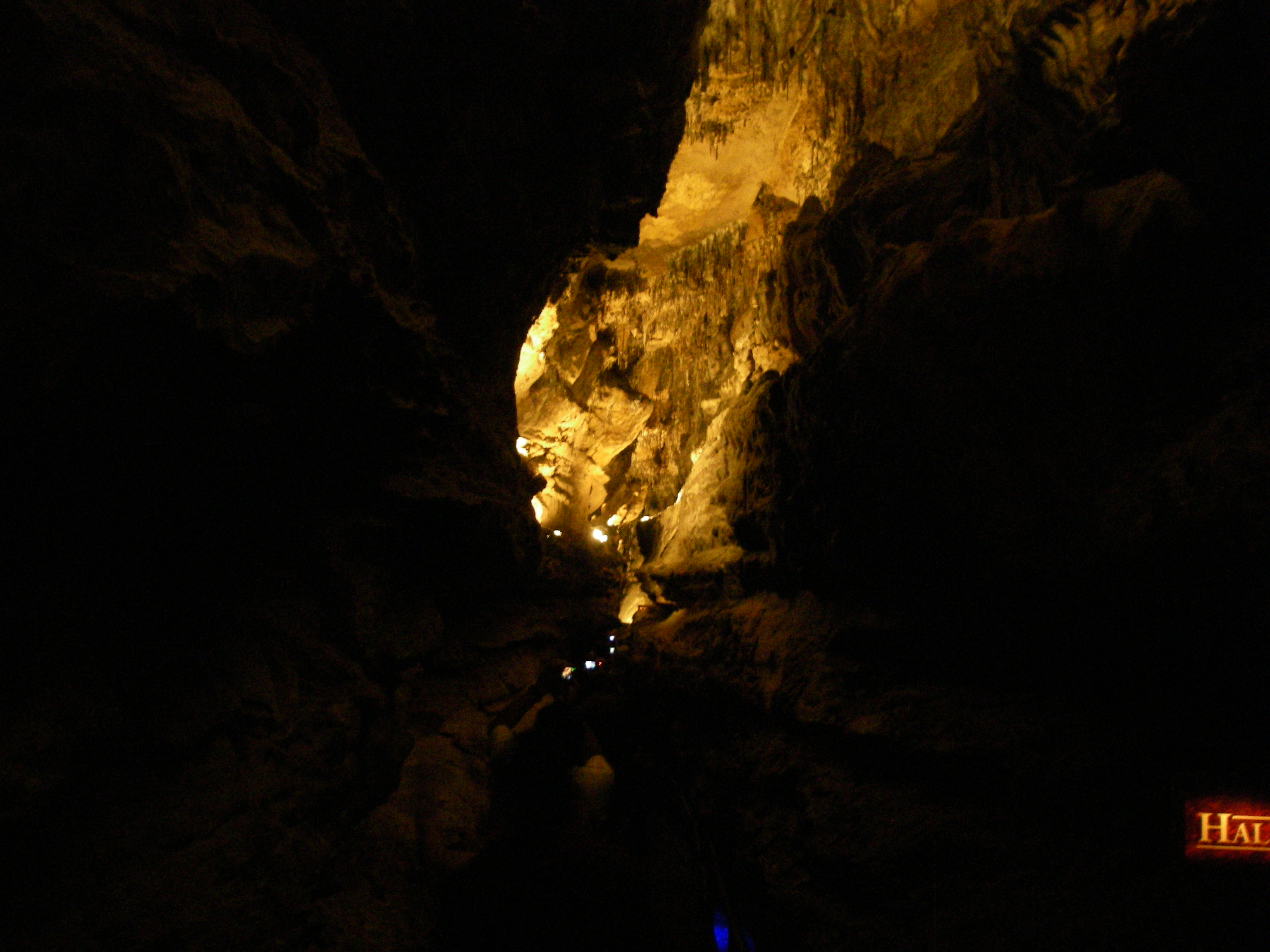
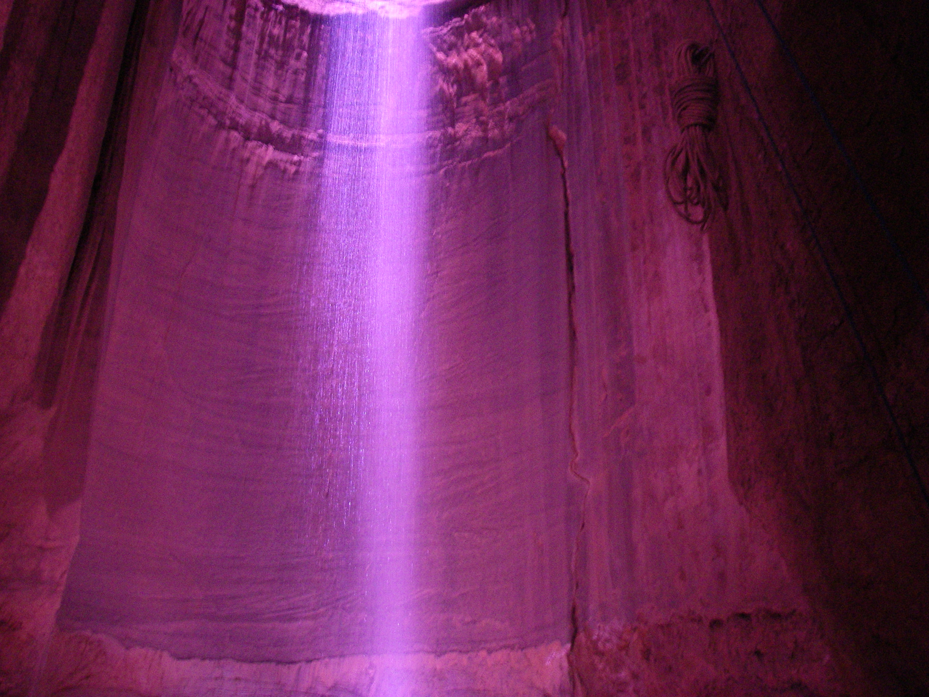
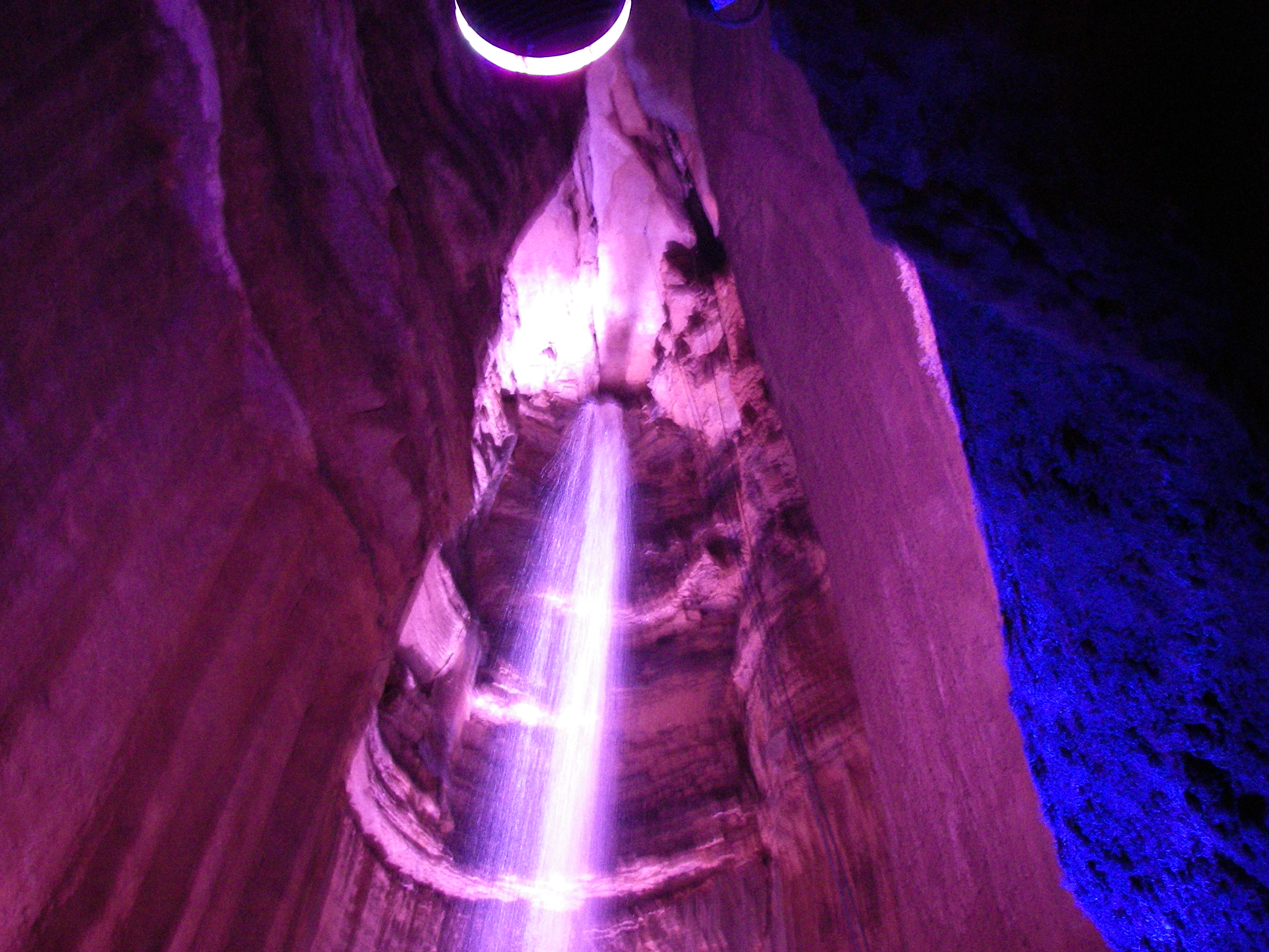
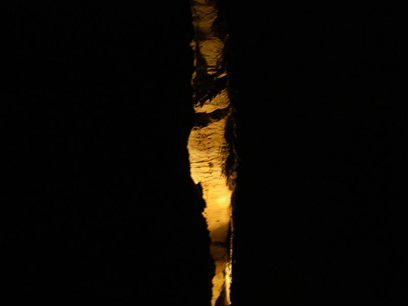
Finally, the falls at the bottom. They had added dramatic lighting. To good effect I might add.
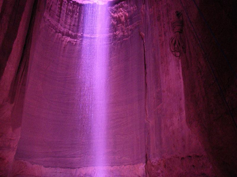
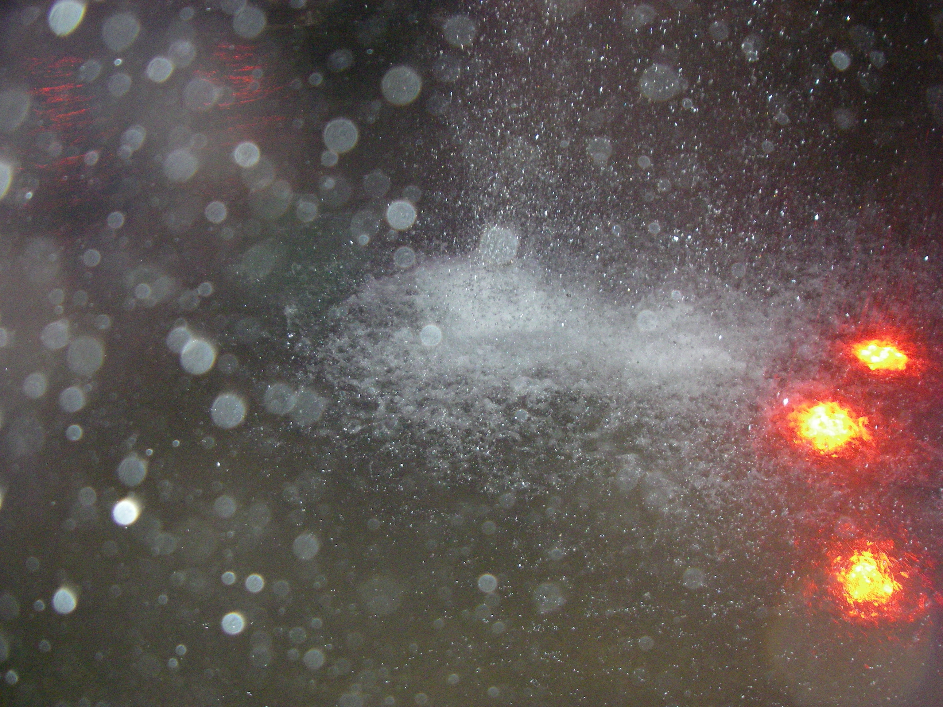
Lots of water flowing this day.

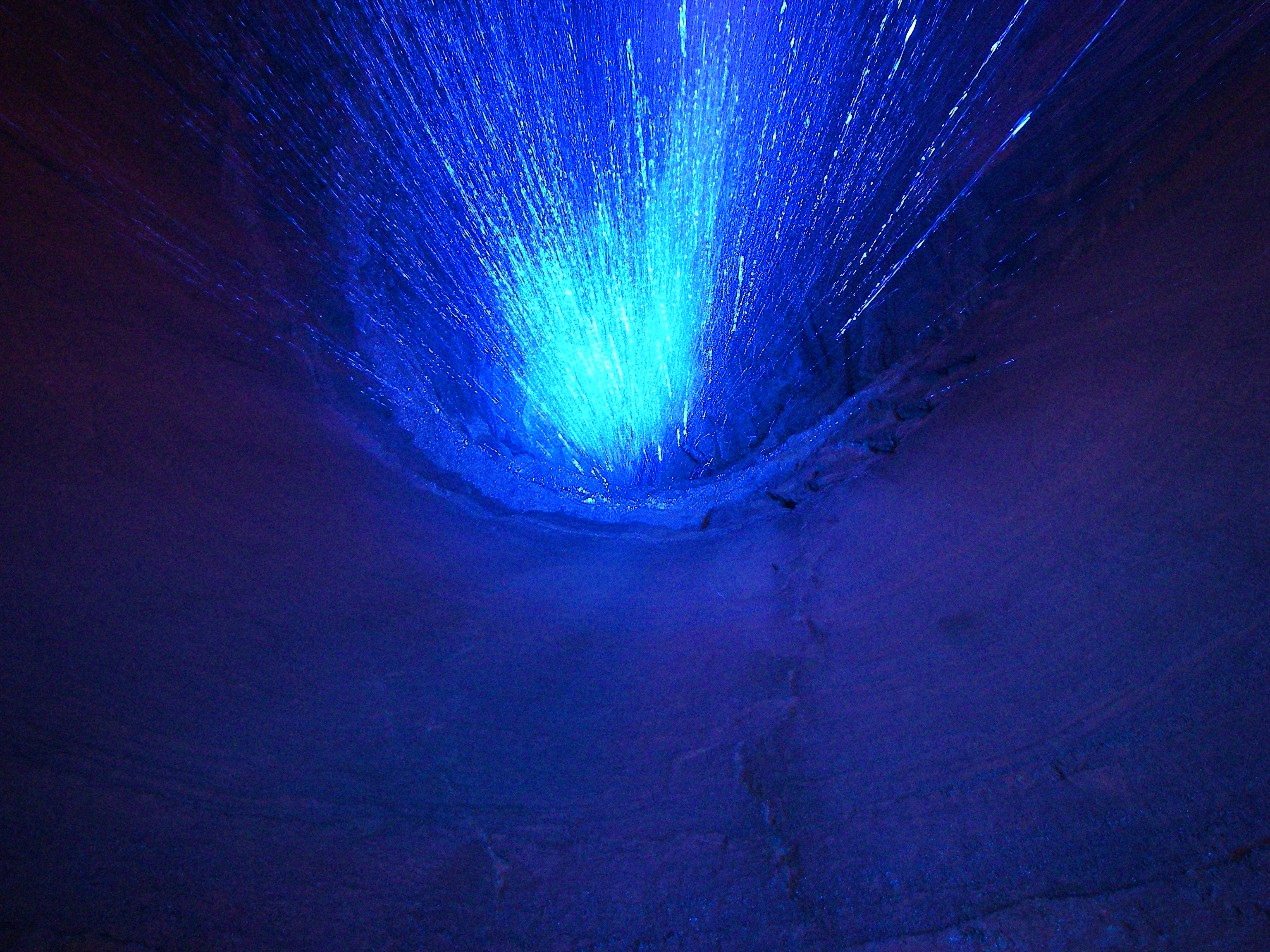
Behind and below the falls while their blue lighting was on. This is looking up with no flash.

Back outside having resisted all their gift shop junk and expensive food.
Heading back down.
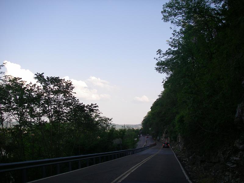
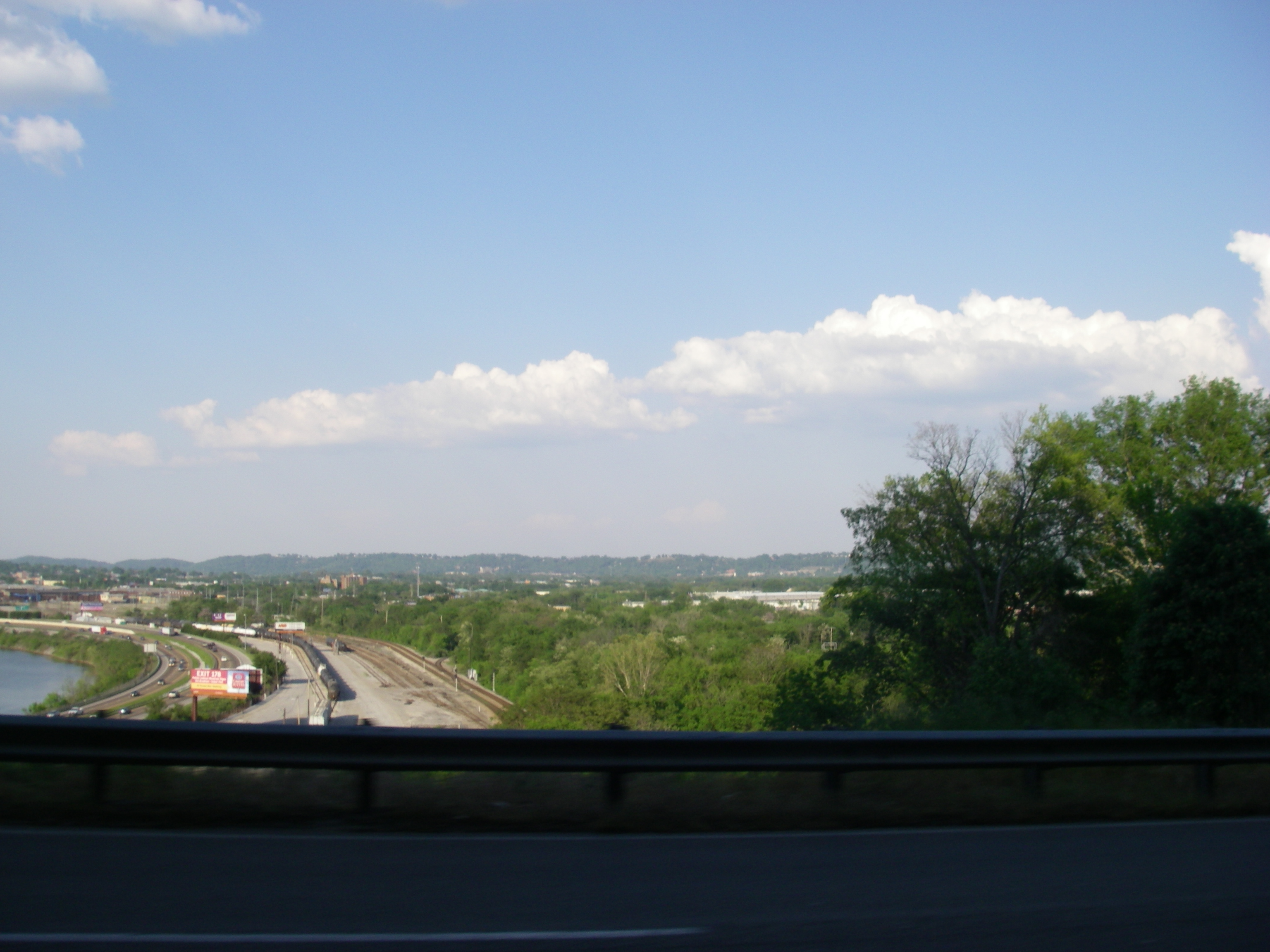
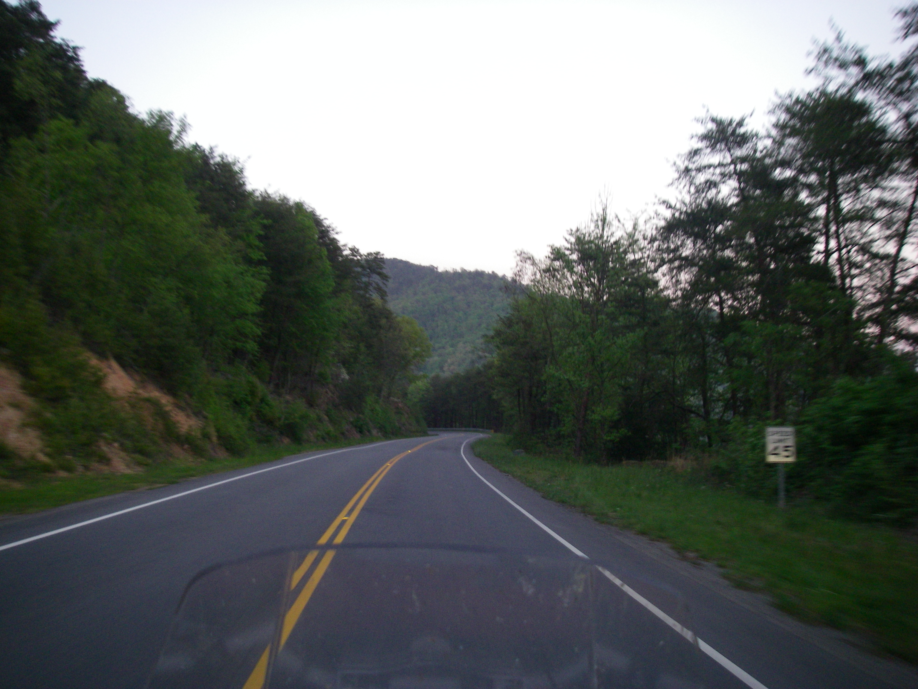
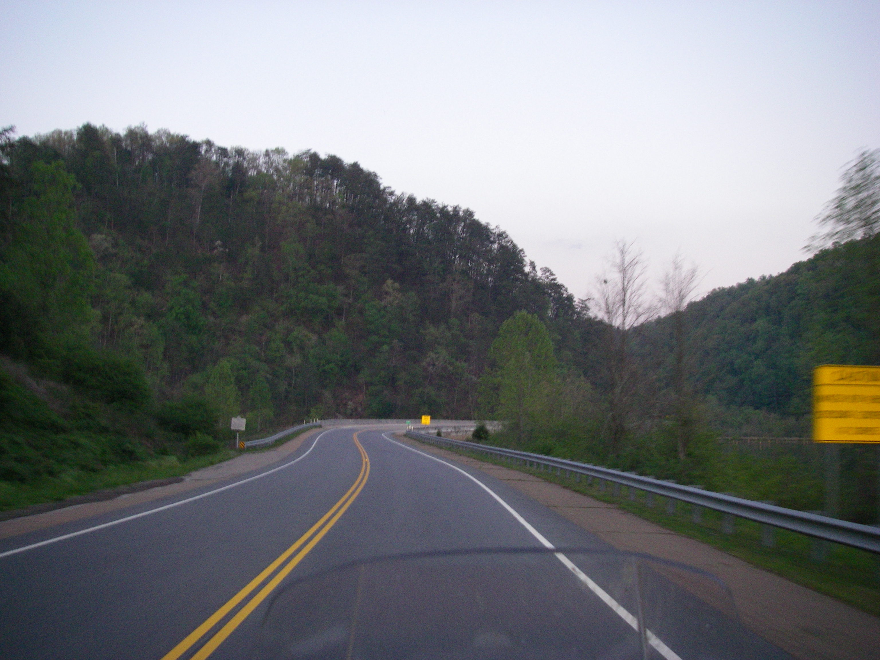
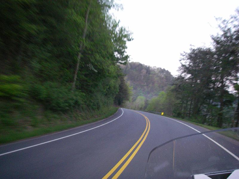
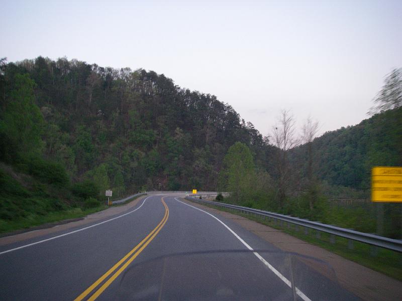
A hint of the views from the road.

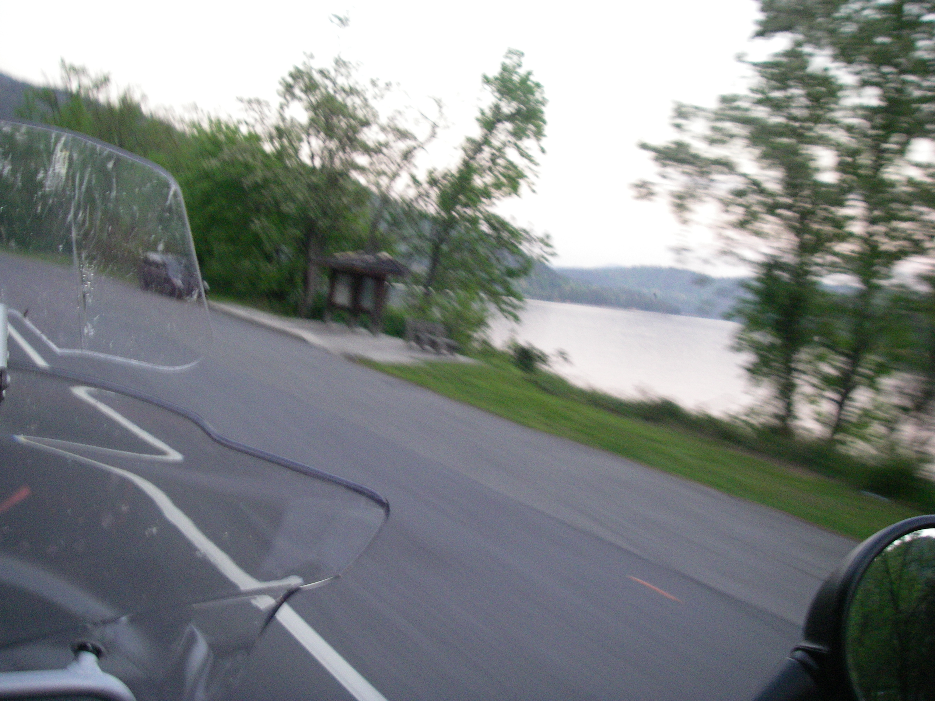
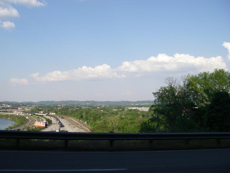
Amost missed the river entirely.
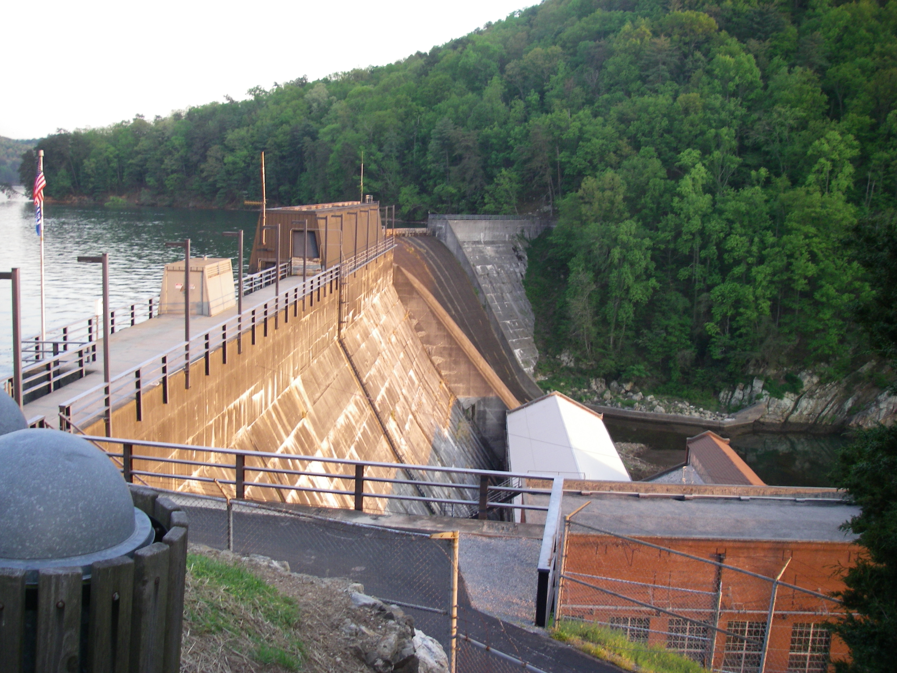
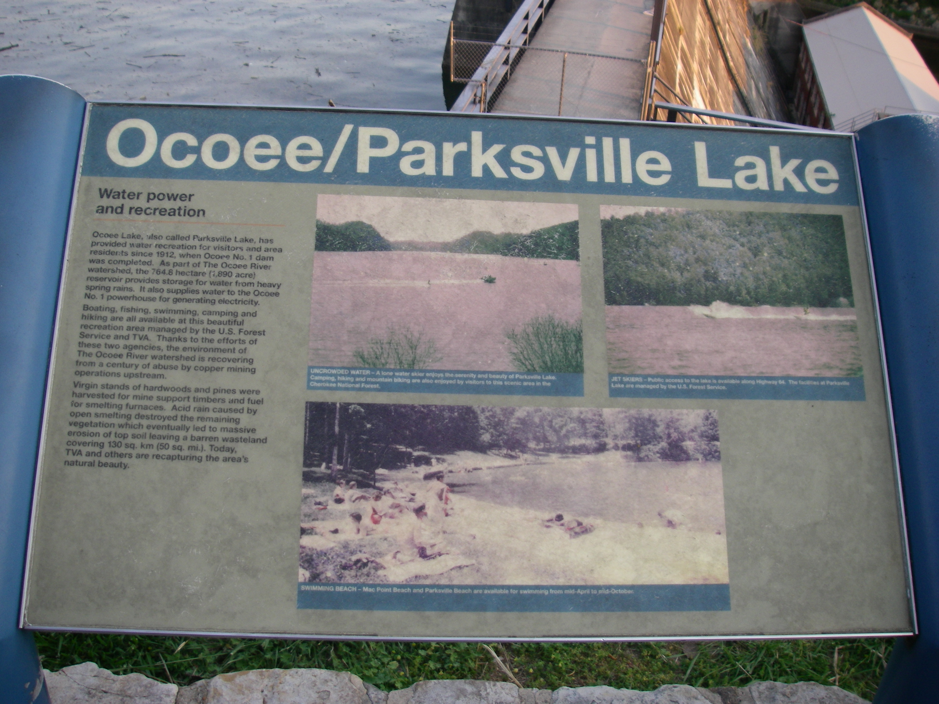
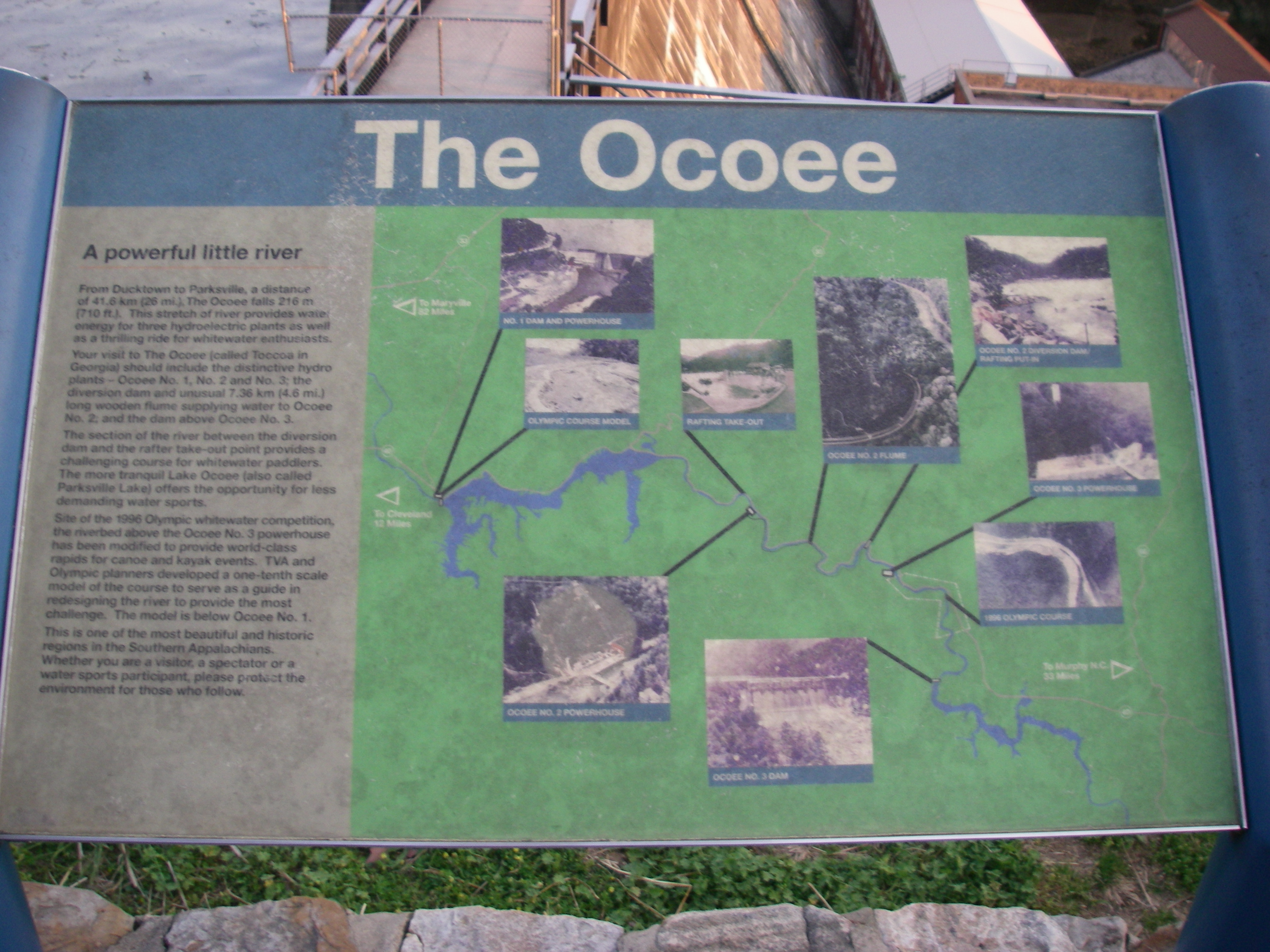
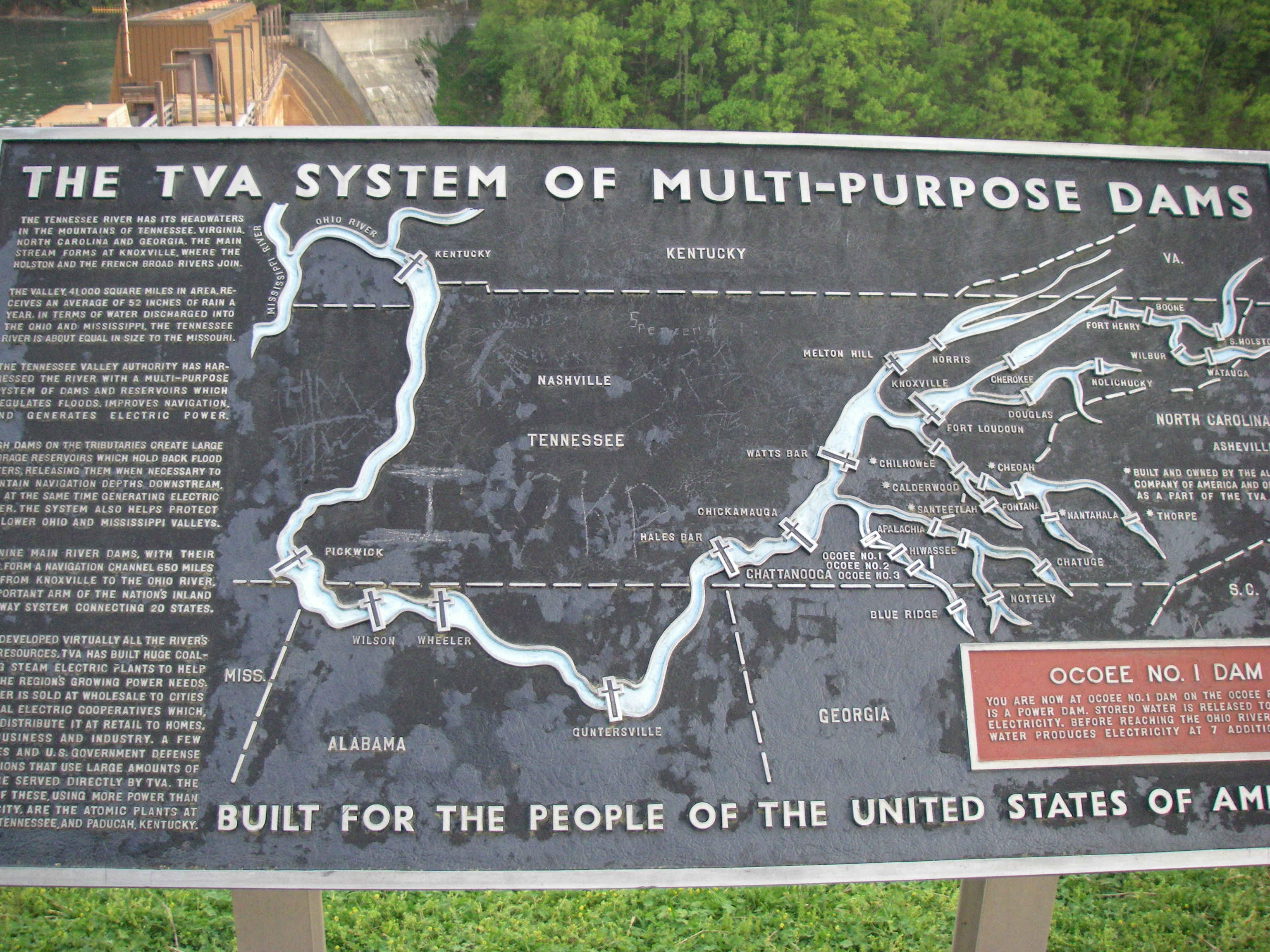
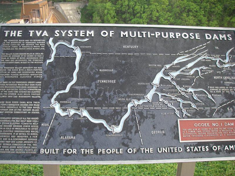
Rather than retrace my entire route home I jumped off to see the Ocoee river and a few dams. Well, one dam. I met a young dirt bike racer here with his racer loaded in the back of a pickup. Seeing me made him take his bike down and ride it without tags while his friend followed in the truck.

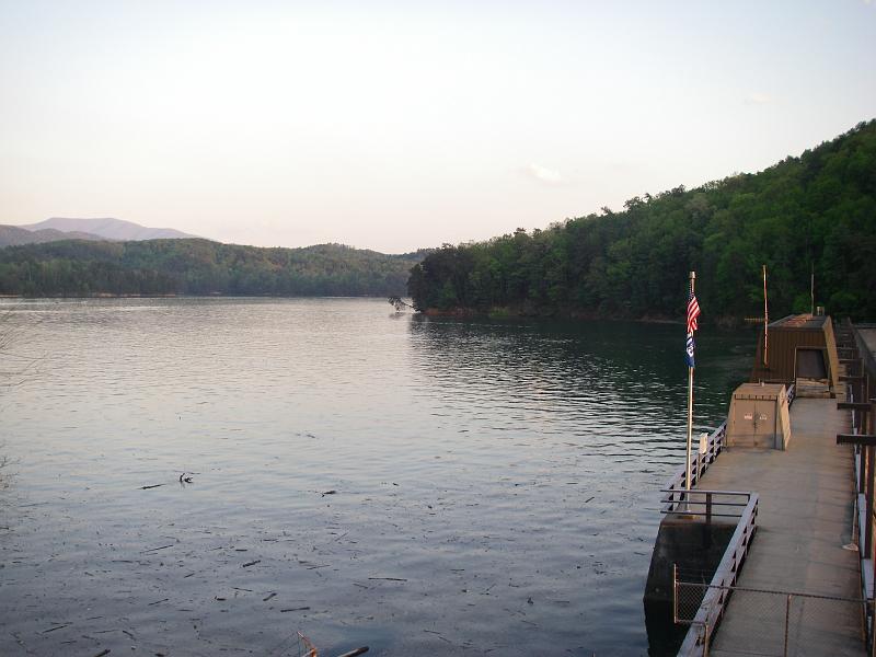

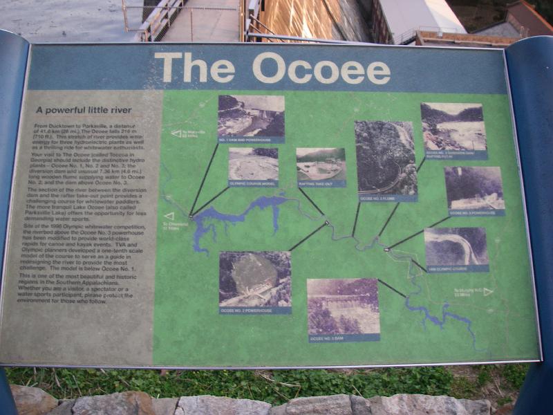
I so wanted to see that caption read "Built By The Dam People Of The United States."
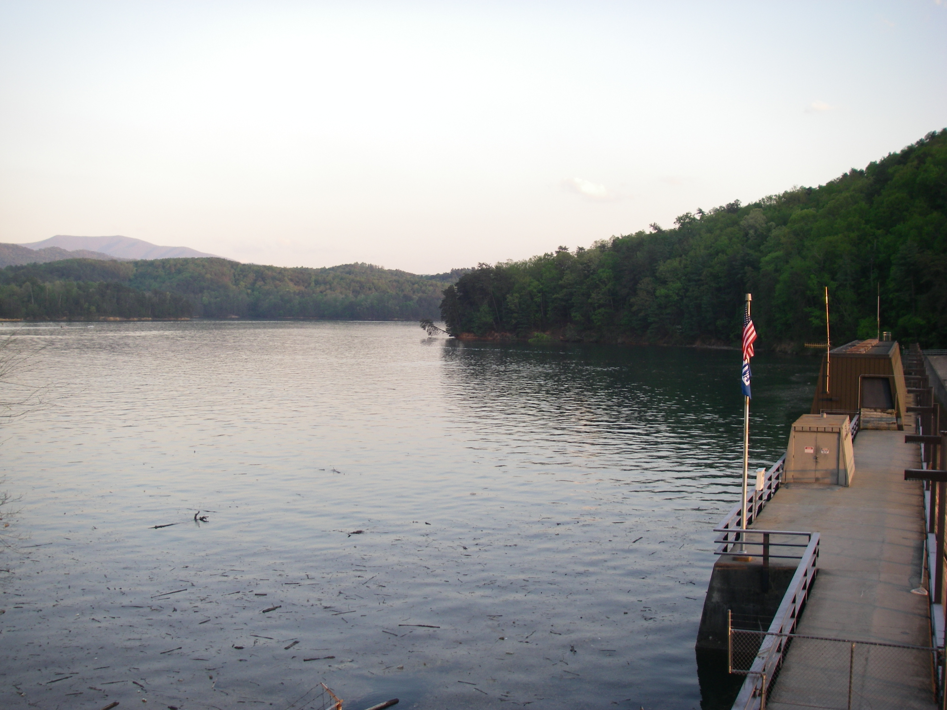
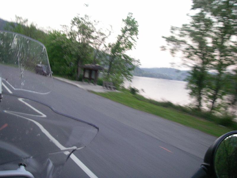
The light is waning and my camera needs more time.
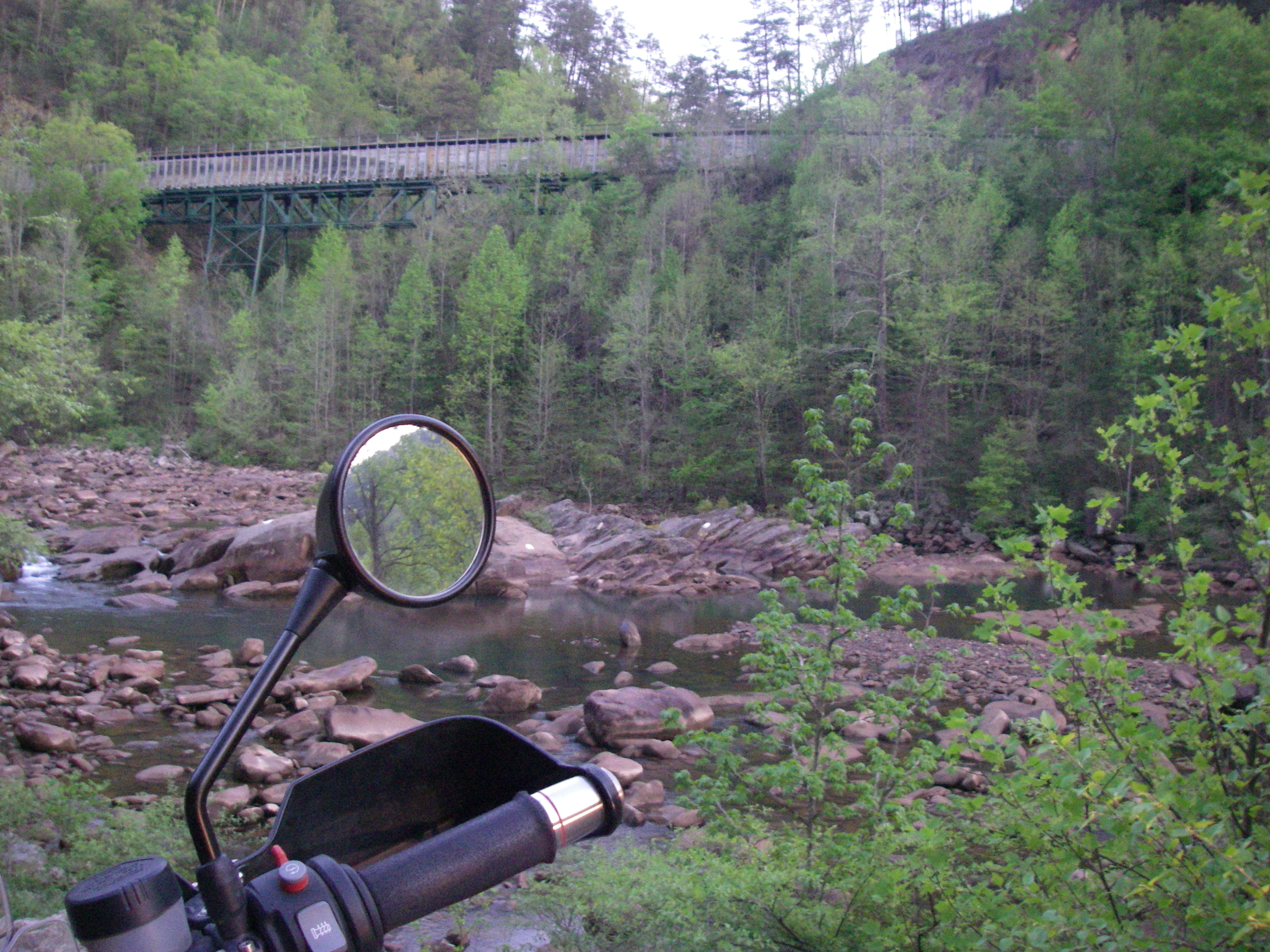
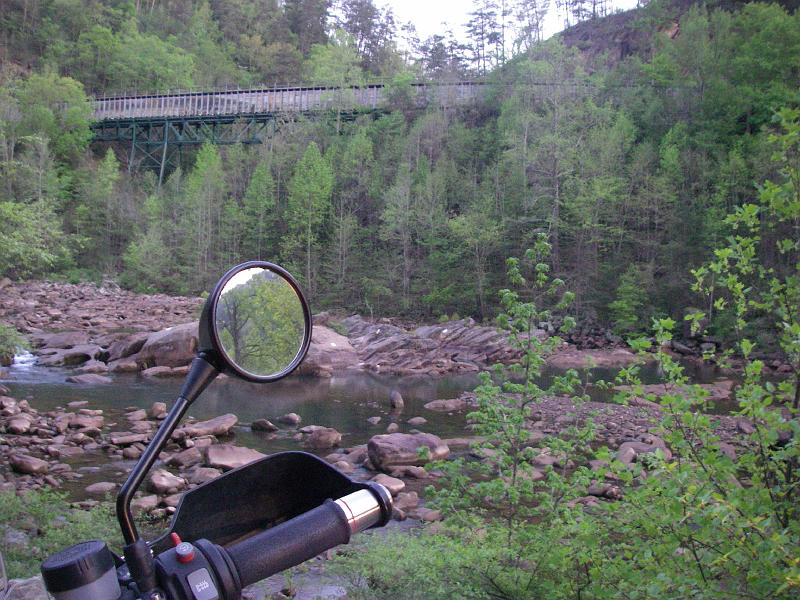
I had been seeing those rails all along the hillsides for a while and didn't know quite what they are. I'm assuming it a train track but I don't know why they have those railings. Someone finally clued me in. Those are sluices that TVA built to redirect water to generate electricity.
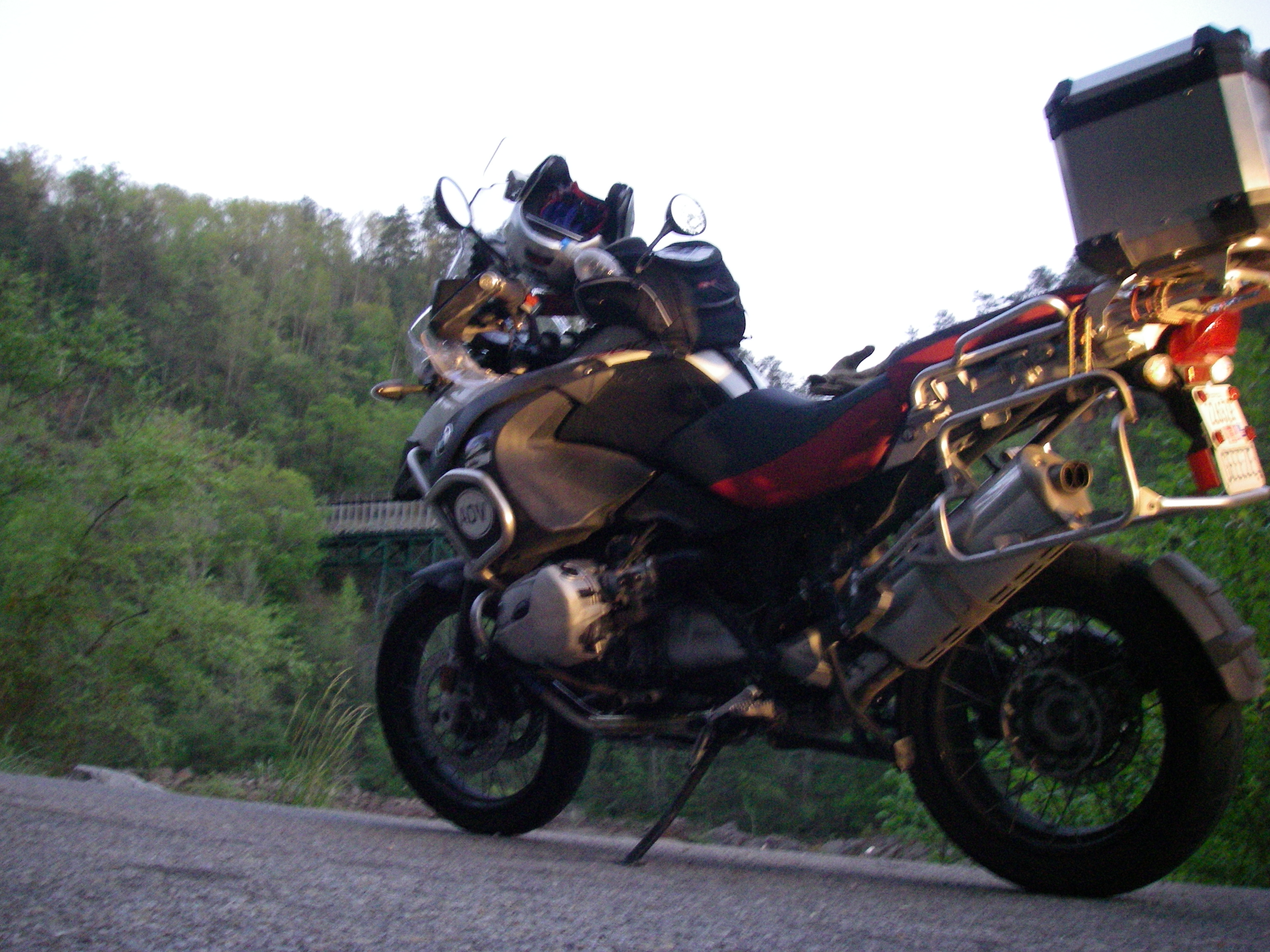
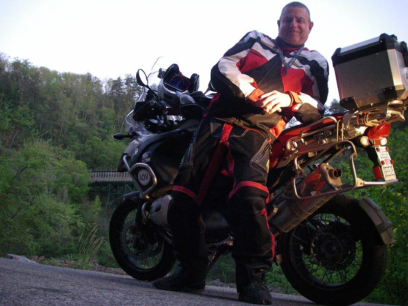
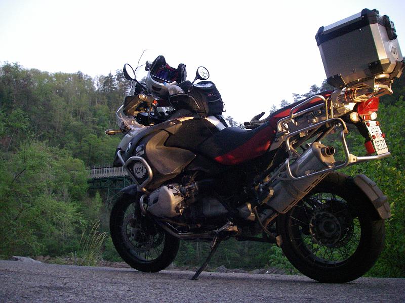
Some tripod pics with the aforementioned pickup parked behind me and lighting my bike from behind.

Ah. Scrunching down in my vented gear.
It looks better without me.
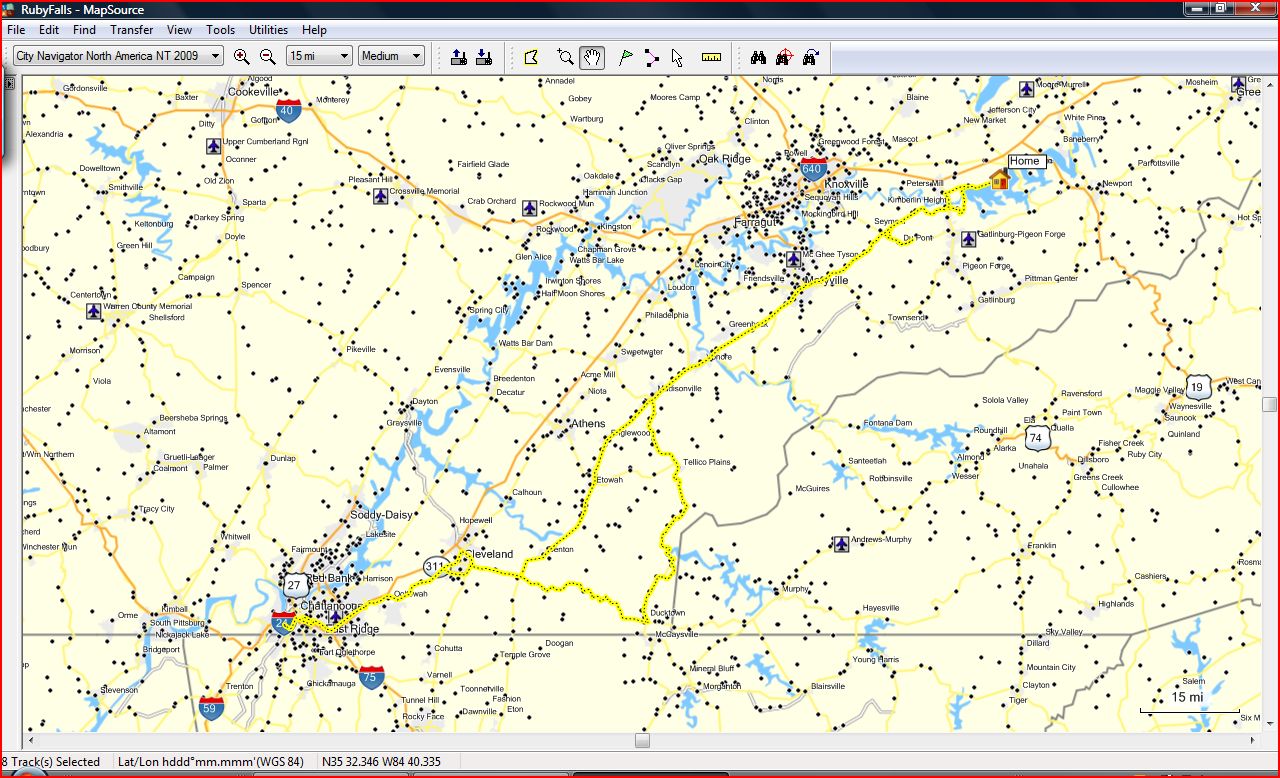
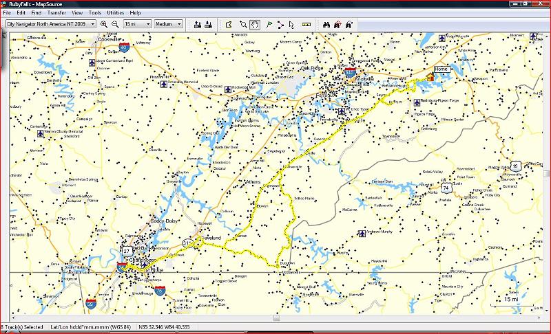
This is the route in yellow that I took. Most of the route was just doubling back except the detour that took me pretty far out of my way. Made for a total of 343 miles for an afternoon jaunt. I got home at 11:30 at night.
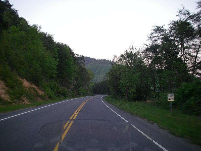
I did learn that I really enjoyed Rte 68 at the end of the Ocoee portion. Even though I hit it in very much darkness I loved the fresh pavement and freshly painted lines at night. Too bad motorcycle headlights never point where you need them on a hilly twisty back road.